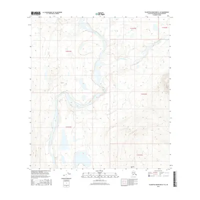
2016 Map of Talkeetna Mountains D-1 SE
USGS Topo · Published 2016About this map
Susitna River and Maclaren River converge within this high-latitude wilderness, illustrating the complex hydrology of the Matanuska-Susitna region. The landscape is defined by the sweeping slopes of the Alphabet Hills, where intricate contouring reveals a maze of small glacial ponds and wetlands characteristic of the Alaskan interior. This map records the path of Coal Cr as it feeds into the larger river systems, documenting a terrain shaped more by water and ice than by human development. The absence of roads or established settlements emphasizes the remote nature of this area, making it a critical reference for understanding the natural geography of the Talkeetna Mountains before any significant industrial or infrastructure changes.
Find a feature on this map
10 named features on this map. Tap any name to fly to it.
Don’t see what you’re looking for? This feature index may not catch every label — zoom into the map to look around manually.
Map Details
Editions of this 2016 Talkeetna Mountains D-1 SE Map
This is the sole edition of this map. No revisions or reprints were ever made.
Other maps of this area

1950 · Talkeetna Mountains
USGS Topo · 1:250,000
1951 · Gulkana
USGS Topo · 1:250,000
1951 · Gulkana D-6
USGS Topo · 1:63,360
1951 · Talkeetna Mountains C-1
USGS Topo · 1:63,360
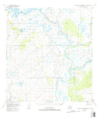
1951 · Talkeetna Mountains D-1
USGS Topo · 1:63,360
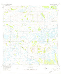
1951 · Gulkana C-6
USGS Topo · 1:63,360
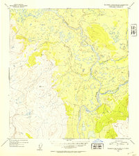
1952 · Talkeetna Mountains D-1
USGS Topo · 1:63,360
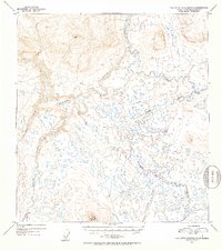
1952 · Talkeetna Mountains C-1
USGS Topo · 1:63,360
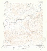
1952 · Gulkana D-6
USGS Topo · 1:63,360
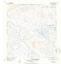
1952 · Gulkana C-6
USGS Topo · 1:63,360