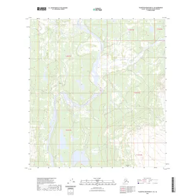
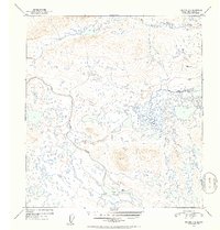
2023 Map of Talkeetna Mountains D-1 SE
USGS Topo · Published 2023About this map
The Susitna River winds through the heart of this Alaskan landscape, defining the hydrology and natural corridors of the Matanuska-Susitna region. This 2023 survey by the U.S. Geological Survey illustrates a wild and largely undeveloped terrain where major waterways like the Maclaren River and Coal Creek converge. The southern portion of the map is dominated by the distinctive elevations of the Alphabet Hills, providing a clear view of the relief and drainage patterns typical of the Talkeetna Mountains foothills. Modern data from the Alaska Dept. of Transportation and other state agencies underpin the mapping of this area, which remains primarily defined by its natural water features rather than human settlement or infrastructure.
Find a feature on this map
10 named features on this map. Tap any name to fly to it.
Don’t see what you’re looking for? This feature index may not catch every label — zoom into the map to look around manually.
Map Details
Editions of this 2023 Talkeetna Mountains D-1 SE Map
This is the sole edition of this map. No revisions or reprints were ever made.
Other maps of this area

1950 · Talkeetna Mountains
USGS Topo · 1:250,000

1951 · Gulkana
USGS Topo · 1:250,000

1951 · Gulkana D-6
USGS Topo · 1:63,360

1951 · Talkeetna Mountains C-1
USGS Topo · 1:63,360

1951 · Talkeetna Mountains D-1
USGS Topo · 1:63,360

1951 · Gulkana C-6
USGS Topo · 1:63,360
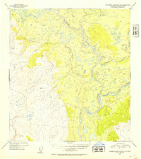
1952 · Talkeetna Mountains D-1
USGS Topo · 1:63,360
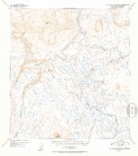
1952 · Talkeetna Mountains C-1
USGS Topo · 1:63,360
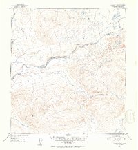
1952 · Gulkana D-6
USGS Topo · 1:63,360
1952 · Gulkana C-6
USGS Topo · 1:63,360