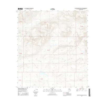
2016 Map of Talkeetna Mountains D-4 NW
USGS Topo · Published 2016About this map
Devil Cr and Portage Cr dominate this section of the Talkeetna Mountains, where the landscape is defined by the drainage patterns of these named waterways. The terrain is structured by the Public Land Survey System, with the intersection of several townships including t33n r3e and t22s r7w. The absence of man-made structures or settlements in this 2016 survey emphasizes the area's character as a roadless wilderness. To the northeast, Clark Cr flows through the high elevations, while the southern reaches are marked by the transition between the T33N and T32N survey tiers. This map provides a technical view of the topographic contours and the precise boundaries of the Matanuska-Susitna Borough’s interior mountain reaches.
Find a feature on this map
12 named features on this map. Tap any name to fly to it.
Don’t see what you’re looking for? This feature index may not catch every label — zoom into the map to look around manually.
Map Details
Editions of this 2016 Talkeetna Mountains D-4 NW Map
This is the sole edition of this map. No revisions or reprints were ever made.
Other maps of this area

1950 · Talkeetna Mountains
USGS Topo · 1:250,000
1950 · Talkeetna Mountains D-5
USGS Topo · 1:63,360
1950 · Healy A-4
USGS Topo · 1:63,360
1950 · Healy A-5
USGS Topo · 1:63,360
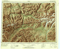
1951 · Healy
USGS Topo · 1:250,000
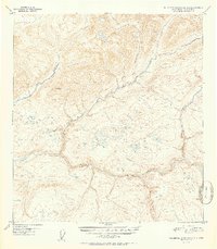
1951 · Talkeetna Mountains D-5
USGS Topo · 1:63,360
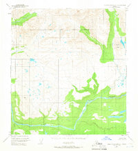
1951 · Talkeetna Mountains D-4
USGS Topo · 1:63,360
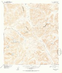
1952 · Healy A-4
USGS Topo · 1:63,360
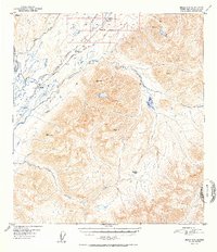
1952 · Healy A-5
USGS Topo · 1:63,360
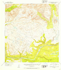
1952 · Talkeetna Mountains D-4
USGS Topo · 1:63,360