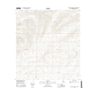
2016 Map of Talkeetna Mountains D-5 NE
USGS Topo · Published 2016About this map
The high alpine drainages of the Talkeetna Mountains are defined by the winding paths of Thoroughfare Cr and Portage Creek. This 2016 survey documents a remote stretch of the Matanuska-Susitna Borough where glacial runoff and steep elevation changes shape the land. The hydrography here reveals a complex network of seasonal flows, including the headwaters of Devil Cr and upper reaches of Portage Cr. Public Land Survey System boundaries, such as those for t22s r9w and t33n r2e, provide the only administrative markers in a landscape otherwise devoid of permanent human settlements or infrastructure, illustrating the scale of Alaska's undeveloped interior during the early 21st century.
Find a feature on this map
10 named features on this map. Tap any name to fly to it.
Don’t see what you’re looking for? This feature index may not catch every label — zoom into the map to look around manually.
Map Details
Editions of this 2016 Talkeetna Mountains D-5 NE Map
This is the sole edition of this map. No revisions or reprints were ever made.
Other maps of this area

1950 · Talkeetna Mountains
USGS Topo · 1:250,000
1950 · Talkeetna Mountains D-5
USGS Topo · 1:63,360
1950 · Healy A-4
USGS Topo · 1:63,360
1950 · Healy A-5
USGS Topo · 1:63,360
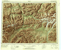
1951 · Healy
USGS Topo · 1:250,000
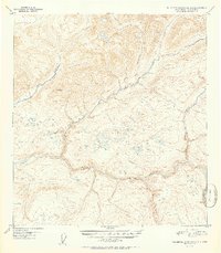
1951 · Talkeetna Mountains D-5
USGS Topo · 1:63,360
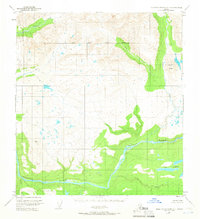
1951 · Talkeetna Mountains D-4
USGS Topo · 1:63,360
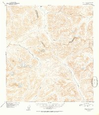
1952 · Healy A-4
USGS Topo · 1:63,360
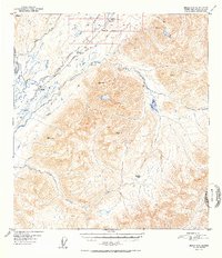
1952 · Healy A-5
USGS Topo · 1:63,360
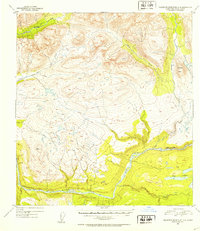
1952 · Talkeetna Mountains D-4
USGS Topo · 1:63,360