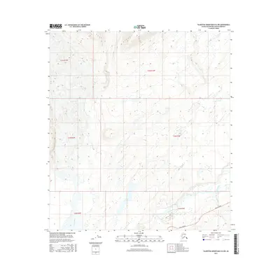
2016 Map of Talkeetna Mountains D-6 NW
USGS Topo · Published 2016About this map
Chulitna River and the Parks Highway corridor dominate the lower portion of this landscape within the Matanuska-Susitna Borough. This 2016 survey documents the complex glacial and fluvial hydrology south of the Eldridge Glacier, where the terrain is marked by numerous unnamed ponds and drainage systems like Puntilla Cr and Coal Cr. The presence of the Parks Highway provides a critical reference for modern transport through this sparsely settled region, crossing near the confluence of Little Coal Cr and Pass Cr. Notable interior features include Lucy Lake and the Fountain River, illustrating the transitional zone between the glacial mass to the north and the broader river valleys to the south.
Find a feature on this map
15 named features on this map. Tap any name to fly to it.
Don’t see what you’re looking for? This feature index may not catch every label — zoom into the map to look around manually.
Map Details
Editions of this 2016 Talkeetna Mountains D-6 NW Map
This is the sole edition of this map. No revisions or reprints were ever made.
Other maps of this area
1949 · Talkeetna Mountains D-6
USGS Topo · 1:63,360
1949 · Healy A-6
USGS Topo · 1:63,360

1950 · Talkeetna Mountains
USGS Topo · 1:250,000
1950 · Talkeetna
USGS Topo · 1:250,000
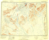
1951 · Talkeetna
USGS Topo · 1:250,000
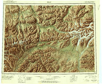
1951 · Healy
USGS Topo · 1:250,000
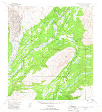
1951 · Talkeetna Mountains D-6
USGS Topo · 1:63,360
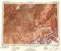
1952 · Mount McKinley
USGS Topo · 1:250,000
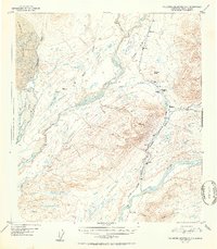
1952 · Talkeetna Mountains D-6
USGS Topo · 1:63,360
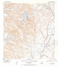
1953 · Healy A-6
USGS Topo · 1:63,360