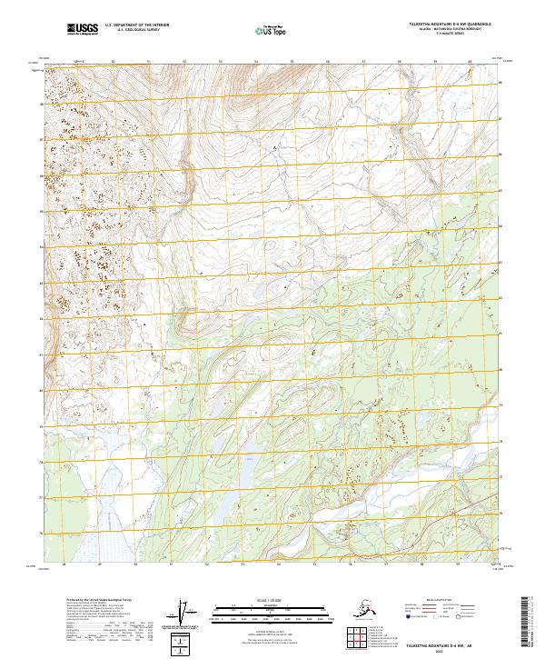
2023 Map of Talkeetna Mountains D-6 NW
USGS Topo · Published 2023About this map
Chulitna River and the Fountain River dominate the southern expanse of this Matanuska-Susitna quadrangle, where a braided hydrology meets the corridor of the modern Parks Highway. The landscape is defined by the transition from riverine lowlands to rising interior slopes, marked by water bodies like Lucy Lake and drainages including Partin Creek, Pass Creek, and Coal Creek. Surveyed in 2023, the map illustrates the enduring spatial relationship between the primary transportation artery of Southcentral Alaska and the complex glacial outwash plains of the Talkeetna Mountains region. This modern topographic record allows for precise tracing of the river’s path and the elevation contours of the surrounding high country in an area where the wilderness and the highway corridor intersect.
Find a feature on this map
13 named features on this map. Tap any name to fly to it.
Don’t see what you’re looking for? This feature index may not catch every label — zoom into the map to look around manually.
Map Details
Editions of this 2023 Talkeetna Mountains D-6 NW Map
This is the sole edition of this map. No revisions or reprints were ever made.
Other maps of this area

1949 · Talkeetna Mountains D-6
USGS Topo · 1:63,360

1949 · Healy A-6
USGS Topo · 1:63,360

1950 · Talkeetna Mountains
USGS Topo · 1:250,000

1950 · Talkeetna
USGS Topo · 1:250,000

1951 · Talkeetna
USGS Topo · 1:250,000

1951 · Healy
USGS Topo · 1:250,000

1951 · Talkeetna Mountains D-6
USGS Topo · 1:63,360

1952 · Mount McKinley
USGS Topo · 1:250,000

1952 · Talkeetna Mountains D-6
USGS Topo · 1:63,360

1953 · Healy A-6
USGS Topo · 1:63,360