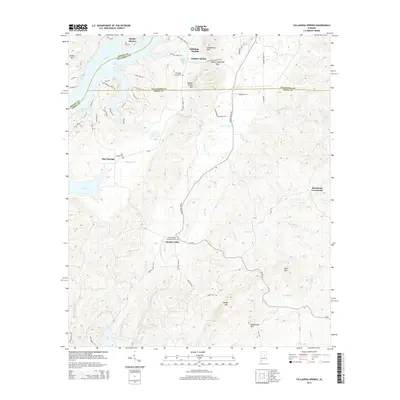
2014 Map of Talladega Springs
USGS Topo · Published 2014About this map
Talladega Springs and the surrounding river valley sit at a tri-county junction where Shelby, Talladega, and Coosa counties meet. The landscape is defined by the winding course of the Coosa River, which expands into Lay Lake along the western edge of the quadrangle. This area is characterized by several small, established communities and crossroads that maintain their distinct identities through local landmarks such as the Talladega Springs Cem and Marble Valley Memorial Cem.
Find a feature on this map
78 named features on this map. Tap any name to fly to it.
Don’t see what you’re looking for? This feature index may not catch every label — zoom into the map to look around manually.
Map Details
Editions of this 2014 Talladega Springs Map
This is the sole edition of this map. No revisions or reprints were ever made.
Other maps of this area

1890 · Bessemer
USGS Topo · 1:125,000

1890 · Talladega
USGS Topo · 1:125,000

1891 · Clanton
USGS Topo · 1:125,000

1892 · Talladega
USGS Topo · 1:125,000

1892 · Bessemer
USGS Topo · 1:125,000

1901 · Wetumpka
USGS Topo · 1:125,000

1903 · Wetumpka
USGS Topo · 1:125,000

1909 · Columbiana
USGS Topo · 1:62,500

1911 · Columbiana
USGS Topo · 1:62,500

1915 · Gantts Quarry
USGS Topo · 1:48,000
Featured Places
- Talladega Springs, AL
- Blue Springs, AL
- Marble Valley, AL
- Strickland Crossroads, AL
- Sulphur Spring, Talladega Springs