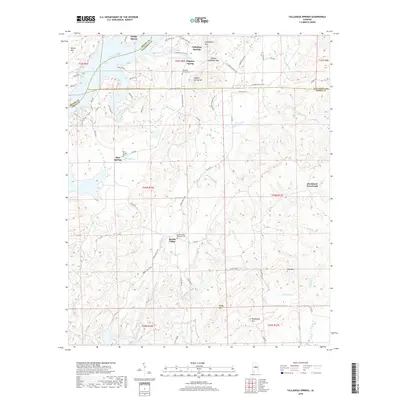
2018 Map of Talladega Springs
USGS Topo · Published 2018About this map
Talladega Springs and the surrounding terrain of the Coosa River valley are shown here along the tri-county border of Shelby, Talladega, and Coosa. The geography is defined by a series of northeast-trending ridges, including Sulphur Spring Mtn and Chalybeate Mtn, which frame the mineral springs that historically drew visitors to this region. The map documents the rural settlement patterns at Marble Valley and Strickland Crossroads, where the landscape is heavily etched by a network of creeks like Paint Creek and Peckerwood Creek.
Find a feature on this map
80 named features on this map. Tap any name to fly to it.
Don’t see what you’re looking for? This feature index may not catch every label — zoom into the map to look around manually.
Map Details
Editions of this 2018 Talladega Springs Map
This is the sole edition of this map. No revisions or reprints were ever made.
Other maps of this area

1890 · Bessemer
USGS Topo · 1:125,000

1890 · Talladega
USGS Topo · 1:125,000

1891 · Clanton
USGS Topo · 1:125,000

1892 · Talladega
USGS Topo · 1:125,000

1892 · Bessemer
USGS Topo · 1:125,000

1901 · Wetumpka
USGS Topo · 1:125,000

1903 · Wetumpka
USGS Topo · 1:125,000

1909 · Columbiana
USGS Topo · 1:62,500

1911 · Columbiana
USGS Topo · 1:62,500

1915 · Gantts Quarry
USGS Topo · 1:48,000
Featured Places
- Talladega Springs, AL
- Blue Springs, AL
- Marble Valley, AL
- Strickland Crossroads, AL
- Sulphur Spring, Talladega Springs