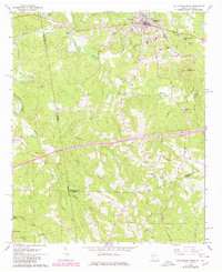
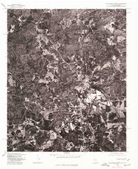
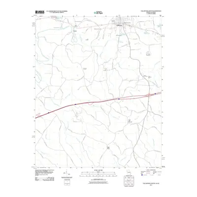
1965 Map of Tallapoosa South
USGS Topo · Published 1980About this map
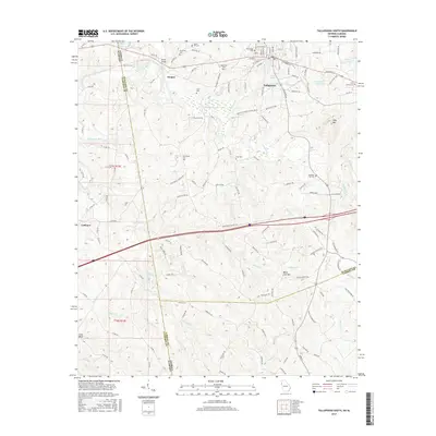
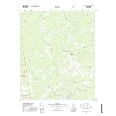
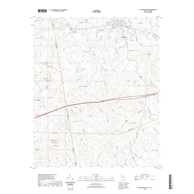
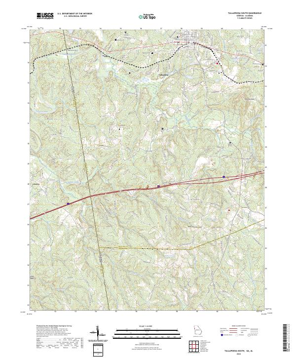
Tallapoosa serves as the primary hub in this Georgia-Alabama borderland, where the Southern railway tracks parallel the Tallapoosa River corridor. The town's layout is meticulously detailed, showing the concentration of civic life around Hollywood Cem and Edgewood Cem. South of the rail line, the landscape transitions into a series of creek valleys and ridges, marked by numerous rural sanctuaries like Riverside Ch and Providence Ch.
Find a feature on this map
52 named features on this map. Tap any name to fly to it.
Don’t see what you’re looking for? This feature index may not catch every label — zoom into the map to look around manually.
Map Details
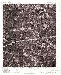
Editions of this 1965 Tallapoosa South Map
2 editions found
Historical Maps of Tallapoosa Through Time
20 maps found
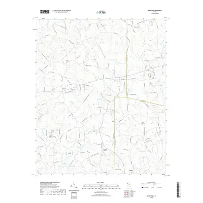
1965 Tallapoosa South
Haralson County, GA
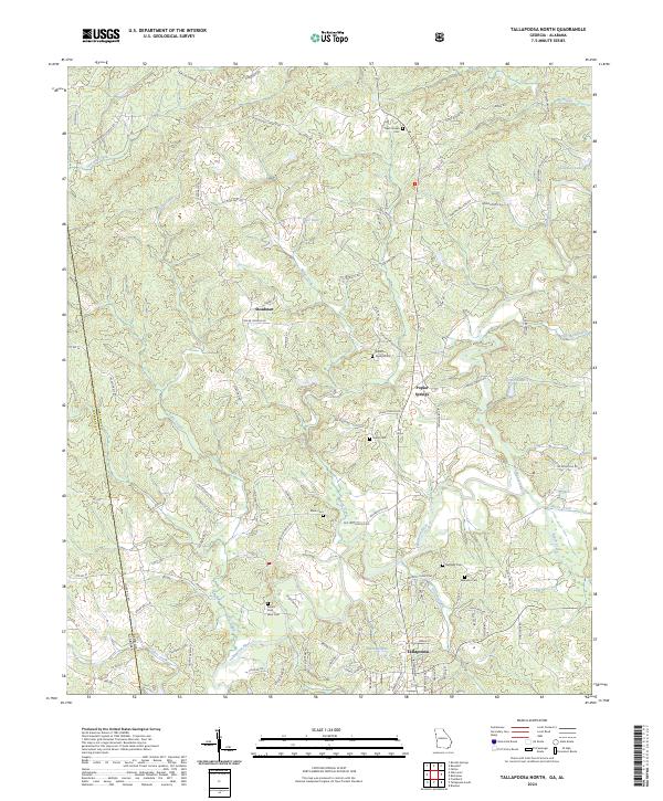
1966 Tallapoosa North
Haralson County, GA
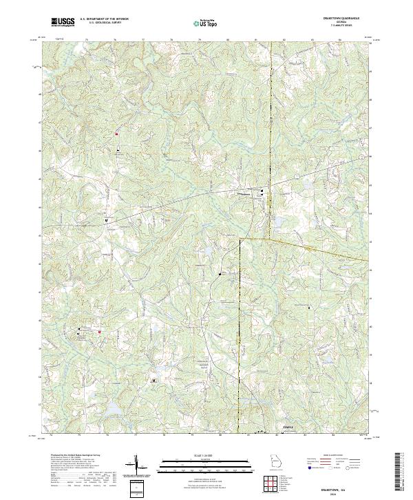
1973 Draketown
Haralson County, GA
1975 Tallapoosa North
Haralson County, GA
1975 Tallapoosa South
Haralson County, GA
2011 Draketown
Haralson County, GA
2011 Tallapoosa North
Haralson County, GA
2011 Tallapoosa South
Haralson County, GA
2014 Draketown
Haralson County, GA
2014 Tallapoosa North
Haralson County, GA
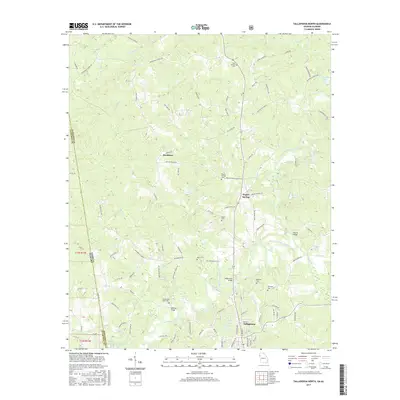
2014 Tallapoosa South
Haralson County, GA
2017 Draketown
Haralson County, GA
2017 Tallapoosa North
Haralson County, GA
2017 Tallapoosa South
Haralson County, GA
2020 Draketown
Haralson County, GA
2020 Tallapoosa North
Haralson County, GA
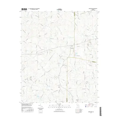
2020 Tallapoosa South
Haralson County, GA
2024 Draketown
Haralson County, GA
2024 Tallapoosa North
Haralson County, GA
2024 Tallapoosa South
Haralson County, GA