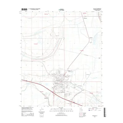
2015 Map of Tallulah
USGS Topo · Published 2015About this map
Tallulah serves as the central hub of this Madison Parish landscape, where a dense grid of streets like Jefferson St and S Walnut St meets the winding path of Panola Bayou. The town is the site of several local landmarks, including the Louisiana Technical College-Tallulah Campus and multiple historical burial grounds such as Oakwood Cem and Morning Crest Cem. The surrounding agricultural lands are crisscrossed by a network of bayous and canals, including the Macon Slough and Grassy Lake Canal, which dictate the drainage and settlement patterns of the region.
Find a feature on this map
93 named features on this map. Tap any name to fly to it.
Don’t see what you’re looking for? This feature index may not catch every label — zoom into the map to look around manually.
Map Details
Editions of this 2015 Tallulah Map
This is the sole edition of this map. No revisions or reprints were ever made.
Other maps of this area

1909 · Millikens Bend
USGS Topo · 1:24,000

1909 · Tallulah
USGS Topo · 1:24,000

1909 · Mound
USGS Topo · 1:24,000

1910 · Mound
USGS Topo · 1:31,680

1935 · Waverly
USGS Topo · 1:62,500

1939 · Talla Bena
USGS Topo · 1:62,500

1939 · Alsatia
USGS Topo · 1:62,500

1955 · Jackson
USGS Topo · 1:250,000

1959 · Mitchiner
USGS Topo · 1:62,500

1961 · Jackson
USGS Topo · 1:250,000