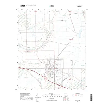
2018 Map of Tallulah
USGS Topo · Published 2018About this map
Tallulah serves as the central hub of this Madison Parish survey, where the grid of city streets transitions into the complex drainage networks of the Louisiana delta. The landscape is defined by the winding paths of Panola Bayou, Roundaway Bayou, and Brushy Bayou, which dictate the placement of both historic settlements and modern infrastructure. To the north and east, smaller communities like Talla Bena, Mansford, and Ashly follow the high ground along the levees and rail lines. Notable local landmarks include the Louisiana Delta Community College Tallulah Campus and several prominent burial grounds, such as Oakwood Cem and Morning Crest Cem. The proximity of Scott Airport and the convergence of various bayous reflect the area's dual reliance on aviation and the intricate natural waterways of the Mississippi River floodplain.
Find a feature on this map
103 named features on this map. Tap any name to fly to it.
Don’t see what you’re looking for? This feature index may not catch every label — zoom into the map to look around manually.
Map Details
Editions of this 2018 Tallulah Map
This is the sole edition of this map. No revisions or reprints were ever made.
Other maps of this area

1909 · Millikens Bend
USGS Topo · 1:24,000

1909 · Tallulah
USGS Topo · 1:24,000

1909 · Mound
USGS Topo · 1:24,000

1910 · Mound
USGS Topo · 1:31,680

1935 · Waverly
USGS Topo · 1:62,500

1939 · Talla Bena
USGS Topo · 1:62,500

1939 · Alsatia
USGS Topo · 1:62,500

1955 · Jackson
USGS Topo · 1:250,000

1959 · Mitchiner
USGS Topo · 1:62,500

1961 · Jackson
USGS Topo · 1:250,000