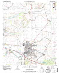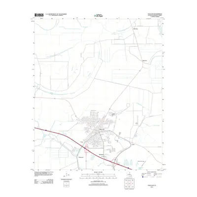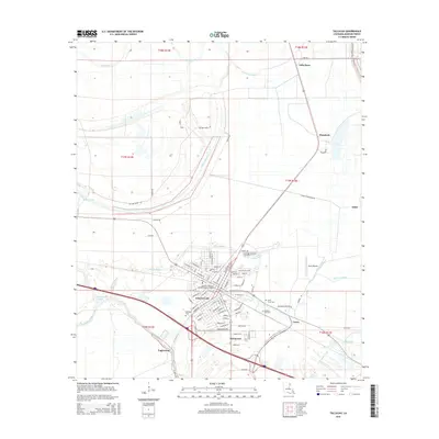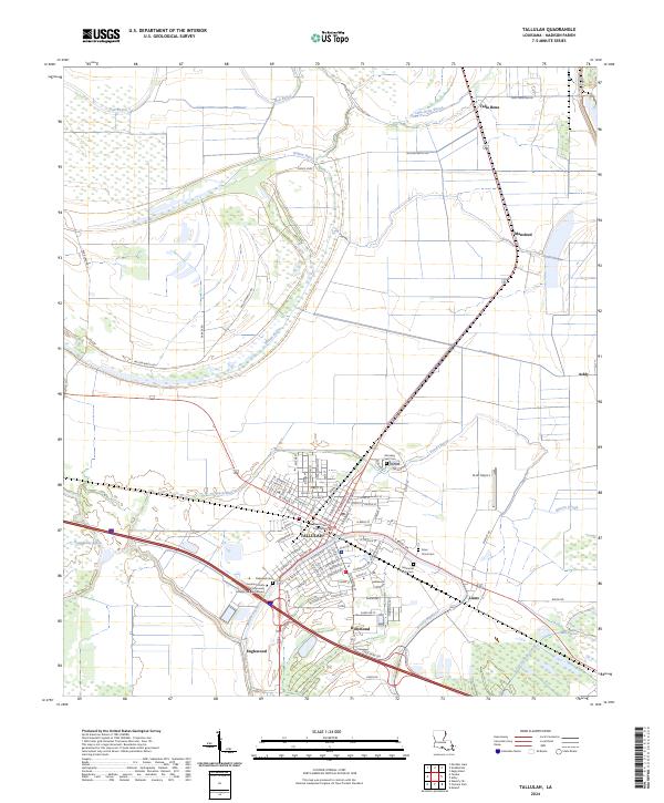
2024 Map of Tallulah
USGS Topo · Published 2024About this map
The Madison Parish Courthouse serves as the focal point for Tallulah, a delta community defined by its intricate network of bayous and agricultural land. The town's grid is bounded by Panola Bayou to the north and west, with residential and civic life concentrated near the Louisiana Delta Community College Tallulah Campus. The surrounding landscape is a web of slow-moving water, including Willow Bayou and Brushy Bayou, which separate the primary settlement from outlying locales like Richmond and Englewood.
Find a feature on this map
133 named features on this map. Tap any name to fly to it.
Don’t see what you’re looking for? This feature index may not catch every label — zoom into the map to look around manually.
Map Details
Editions of this 2024 Tallulah Map
This is the sole edition of this map. No revisions or reprints were ever made.
Historical Maps of Tallulah Through Time
9 maps found