Loading...
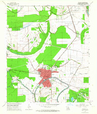
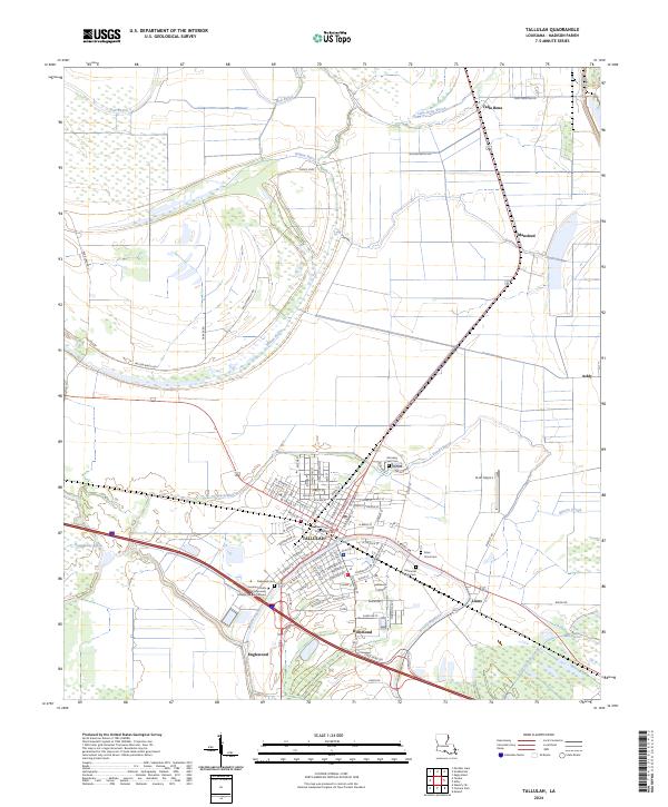
Loading map...1963 Map of Tallulah
USGS Topo · Published 1964About this map
Tallulah serves as the focal point of this Madison Parish study, situated at the busy intersection of the Illinois Central and Missouri Pacific railroads. The town's mid-century infrastructure is well-defined, featuring the Courthouse, a Fairground, and various educational institutions like McCall Sch and Wright Sch. To the south, Marlin Airport and a Drive-in Theater reflect the era's growing transportation and leisure footprint.
Find a feature on this map
44 named features on this map. Tap any name to fly to it.
Don’t see what you’re looking for? This feature index may not catch every label — zoom into the map to look around manually.
Map Details
Date Portrayed1963
Date Published1964
PublisherU.S. Geological Survey
Map TypeTopographic
Scale1:24,000
Physical Dimensions22.9 x 27 inches
Editions of this 1963 Tallulah Map
This is the sole edition of this map. No revisions or reprints were ever made.
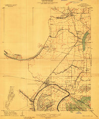
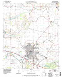
Historical Maps of Tallulah Through Time
9 maps found

Featured Locations
Source Details
SourceU.S. Geological Survey
CopyrightPublic Domain