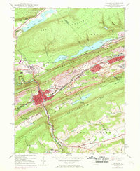
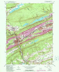
1947 Map of Tamaqua
USGS Topo · Published 1969About this map
Anthracite coal heritage dominates the landscape of Tamaqua and its surrounding boroughs during this mid-century period. The density of industrial infrastructure is evident in the sprawling rail networks, including the Reading and the Lehigh and New England lines, which converge at Arlington Yards. These systems supported a massive extractive economy characterized by numerous labels for Mine, Tailings, and Slum deposits that fill the valleys between Nesquehoning Mountain and Pisgah Ridge.
Find a feature on this map
61 named features on this map. Tap any name to fly to it.
Don’t see what you’re looking for? This feature index may not catch every label — zoom into the map to look around manually.
Map Details
Editions of this 1947 Tamaqua Map
5 editions found
Other maps of this area

1889 · Hazleton
USGS Topo · 1:62,500

1889 · Pottsville
USGS Topo · 1:62,500

1891 · Hazleton
USGS Topo · 1:62,500

1891 · Pottsville
USGS Topo · 1:62,500

1892 · Mahanoy
USGS Topo · 1:62,500

1893 · Hazleton
USGS Topo · 1:62,500

1893 · Mahanoy
USGS Topo · 1:62,500

1909 · Hamburg
USGS Topo · 1:62,500

1911 · Hamburg
USGS Topo · 1:62,500

1944 · Orwigsburg
USGS Topo · 1:24,000