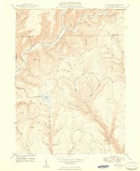
1948 Map of Tamarack
USGS Topo · Published 1948About this map
Cross Fork sits at the northern confluence of this rugged watershed, where the Potter and Clinton County line divides a landscape of steep hollows and narrow runs. Surveyed in the late 1940s, the map reveals a remote terrain defined by the winding course of Kettle Creek and its many tributaries, including Hammersley Fork and Elm Run. High points like Dykes Peak and Keeney Mountain overlook a region largely preserved as State Forest land, where industrial activity is represented by the Pipe Line cutting across the ridges.
Find a feature on this map
81 named features on this map. Tap any name to fly to it.
Don’t see what you’re looking for? This feature index may not catch every label — zoom into the map to look around manually.
Map Details
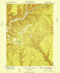
Editions of this 1948 Tamarack Map
2 editions found
Other maps of this area

1943 · Hyner
USGS Topo · 1:62,500

1946 · Young Womans Creek
USGS Topo · 1:24,000

1946 · Renovo East
USGS Topo · 1:62,500

1946 · Renovo West
USGS Topo · 1:62,500

1946 · Hammersley Fork
USGS Topo · 1:24,000

1946 · Keating
USGS Topo · 1:24,000

1946 · Tamarack
USGS Topo · 1:24,000

1946 · Renovo East
USGS Topo · 1:24,000

1946 · Renovo West
USGS Topo · 1:24,000

1947 · Conrad
USGS Topo · 1:62,500
Featured Places
- Leidy Township, PA
- Wharton Township, PA
- Tamarack, Leidy Township
- Cross Fork, Stewardson Township
- Stewardson Township, PA