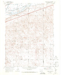
1953 Map of Tamarack Ranch
USGS Topo · Published 1972About this map
The South Platte River carves a broad valley through the northeastern corner of Logan County, shaping a landscape defined by water management and conservation. This 1953 survey captures the Colorado Game and Fish Reserve at a time when the river's flow was meticulously diverted for agriculture, evidenced by the network of ditches and numerous windmills dotting the upland plains. The Union Pacific railroad parallels the northern bank of the river, providing a vital transportation artery for the rural ranching operations that anchor the area.
Find a feature on this map
9 named features on this map. Tap any name to fly to it.
Don’t see what you’re looking for? This feature index may not catch every label — zoom into the map to look around manually.
Map Details
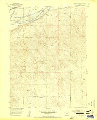
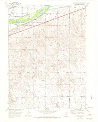
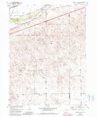
Editions of this 1953 Tamarack Ranch Map
5 editions found
Other maps of this area

1952 · Marks Butte
USGS Topo · 1:24,000

1953 · Tamarack Ranch
USGS Topo · 1:24,000

1953 · Crook
USGS Topo · 1:24,000

1953 · Twin Buttes
USGS Topo · 1:24,000

1953 · Julesburg Reservoir
USGS Topo · 1:24,000

1953 · Sedgwick
USGS Topo · 1:24,000

1954 · Sterling
USGS Topo · 1:250,000

1958 · Sterling
USGS Topo · 1:250,000

1962 · Fleming
USGS Topo · 1:24,000

1962 · Haxtun East
USGS Topo · 1:24,000