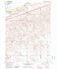
1953 Map of Tamarack Ranch
USGS Topo · Published 1985About this map
The South Platte River corridor dominates this northeastern Colorado landscape, showing the vital relationship between the waterway and the local ranching economy. This survey, updated with 1980s data, highlights the extensive irrigation infrastructure necessary for the region, including the Settlers Ditch and Tamarack Ditch. The Union Pacific railroad cuts a straight line through the valley, paralleling the river and providing a critical transportation link for the ranching outposts found here. Named homesteads and operational hubs like Tamarack Ranch, Barden Ranch, and Yost Ranch are scattered across the terrain, reflecting the sparse but structured settlement pattern of Logan County. Much of the riverfront is managed as the Tamarack Ranch State Wildlife Area, where the intersection of natural riparian habitat and agricultural history is preserved.
Find a feature on this map
10 named features on this map. Tap any name to fly to it.
Don’t see what you’re looking for? This feature index may not catch every label — zoom into the map to look around manually.
Map Details
Editions of this 1953 Tamarack Ranch Map
5 editions found
Other maps of this area

1952 · Marks Butte
USGS Topo · 1:24,000

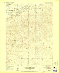
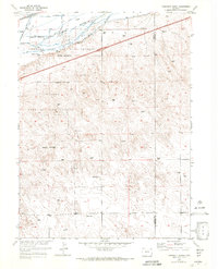
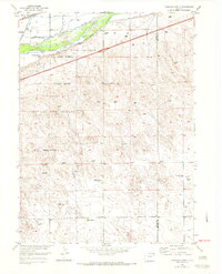
1953 · Tamarack Ranch
USGS Topo · 1:24,000

1953 · Crook
USGS Topo · 1:24,000

1953 · Twin Buttes
USGS Topo · 1:24,000

1953 · Julesburg Reservoir
USGS Topo · 1:24,000

1953 · Sedgwick
USGS Topo · 1:24,000

1954 · Sterling
USGS Topo · 1:250,000

1958 · Sterling
USGS Topo · 1:250,000

1962 · Fleming
USGS Topo · 1:24,000

1962 · Haxtun East
USGS Topo · 1:24,000