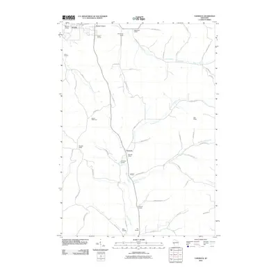
2010 Map of Tamarack
USGS Topo · Published 2010About this map
Arcadia and the surrounding agricultural valleys of Trempealeau County are meticulously documented in this 2010 study. The landscape is defined by its characteristic coulees, with Norway Valley, German Coulee, and Bear Coulee carving through the uplifted terrain. These valleys provided sheltered sites for local settlements and farmsteads, connected by a network of rural roads like Holcomb Coulee Rd and County Hwy-G.
Find a feature on this map
52 named features on this map. Tap any name to fly to it.
Don’t see what you’re looking for? This feature index may not catch every label — zoom into the map to look around manually.
Map Details
Editions of this 2010 Tamarack Map
This is the sole edition of this map. No revisions or reprints were ever made.
Other maps of this area

1926 · Whitehall
USGS Topo · 1:62,500

1929 · Whitehall
USGS Topo · 1:62,500

1929 · Fountain City
USGS Topo · 1:62,500

1929 · Galesville
USGS Topo · 1:62,500

1932 · Gilmanton
USGS Topo · 1:62,500

1934 · Winona
USGS Topo · 1:62,500

1937 · Winona
USGS Topo · 1:62,500

1953 · Eau Claire
USGS Topo · 1:250,000

1958 · Eau Claire
USGS Topo · 1:250,000

1964 · Eau Claire
USGS Topo · 1:250,000