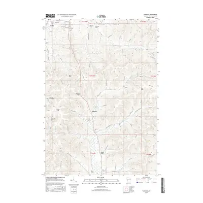
2015 Map of Tamarack
USGS Topo · Published 2015About this map
Arcadia and the smaller settlement of Tamarack anchor this landscape defined by a complex system of coulees and ridges in western Wisconsin. The terrain is a network of deeply carved valleys, including Newcomb Valley, Meyers Valley, and Norway Valley, which separate high features like Arcadia Ridge and Oak Ridge. The drainage pattern is led by Tamarack Cr and Holcomb Coulee Cr, flowing through the agricultural land that fills the valley floors. For genealogists, the map identifies several burial grounds including Arcadia Cem, Calvary Cem, and Tamarack Cem. The road network, specifically State Hwy 93 and various county roads like Co Rd G, traces the natural contours of the coulees, illustrating how the geography dictated the settlement and transit patterns of Trempealeau County.
Find a feature on this map
87 named features on this map. Tap any name to fly to it.
Don’t see what you’re looking for? This feature index may not catch every label — zoom into the map to look around manually.
Map Details
Editions of this 2015 Tamarack Map
This is the sole edition of this map. No revisions or reprints were ever made.
Other maps of this area

1926 · Whitehall
USGS Topo · 1:62,500

1929 · Whitehall
USGS Topo · 1:62,500

1929 · Fountain City
USGS Topo · 1:62,500

1929 · Galesville
USGS Topo · 1:62,500

1932 · Gilmanton
USGS Topo · 1:62,500

1934 · Winona
USGS Topo · 1:62,500

1937 · Winona
USGS Topo · 1:62,500

1953 · Eau Claire
USGS Topo · 1:250,000

1958 · Eau Claire
USGS Topo · 1:250,000

1964 · Eau Claire
USGS Topo · 1:250,000