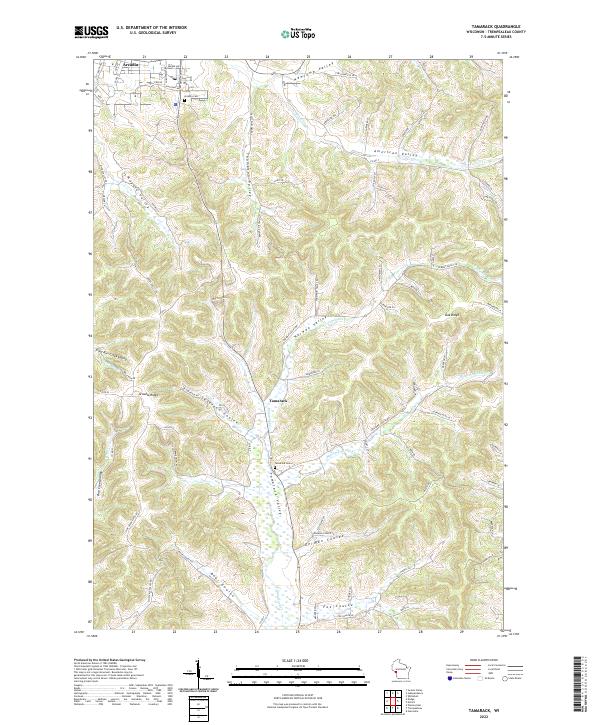
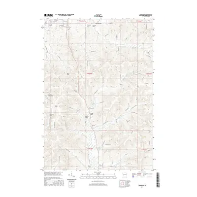
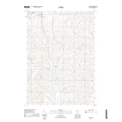
2022 Map of Tamarack
USGS Topo · Published 2022About this map
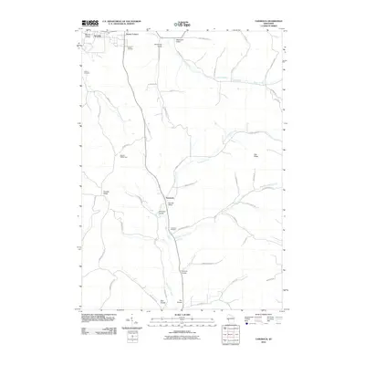
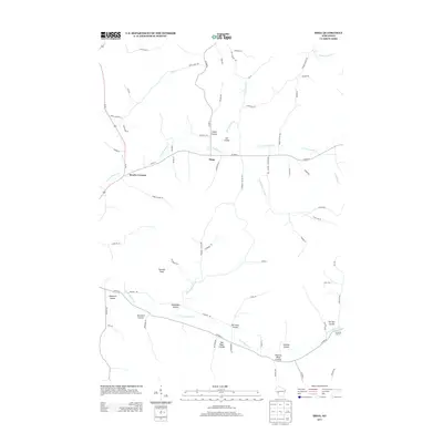
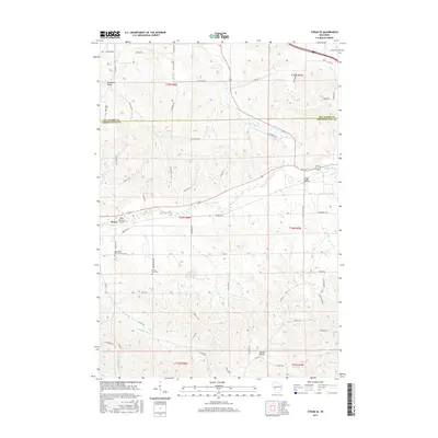
Arcadia and the southern reaches of Arcadia Ridge define this landscape within the Driftless Area, where deeply incised valleys and steep coulees dictate the patterns of settlement. The small community of Tamarack sits at the junction of several drainage systems, including Tamarack Cr and Norway Valley. This 2022 survey illustrates how the rugged topography of Trempealeau County preserves a traditional agricultural layout, with roads like Myers Valley Rd and Thompson Valley Rd following the natural contours of the land. Genealogists can locate established burial grounds including the Arcadia Cem and the Tamarack Cem, while the inclusion of numerous named coulees like Bear Coulee, Fox Coulee, and Severson Coulee provides essential geographic context for family land records and local histories of this Wisconsin region.
Find a feature on this map
91 named features on this map. Tap any name to fly to it.
Don’t see what you’re looking for? This feature index may not catch every label — zoom into the map to look around manually.
Map Details
Editions of this 2022 Tamarack Map
This is the sole edition of this map. No revisions or reprints were ever made.
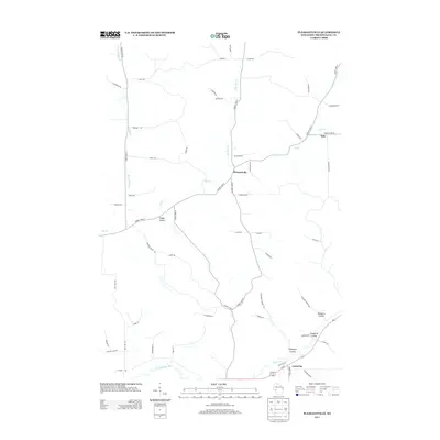
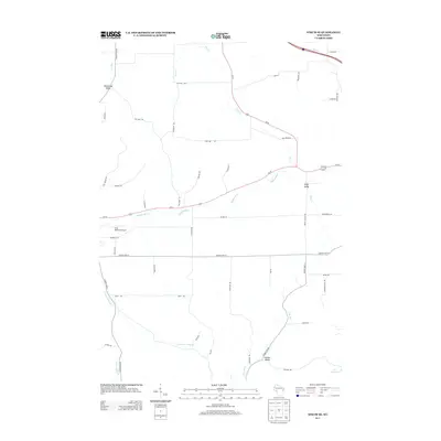
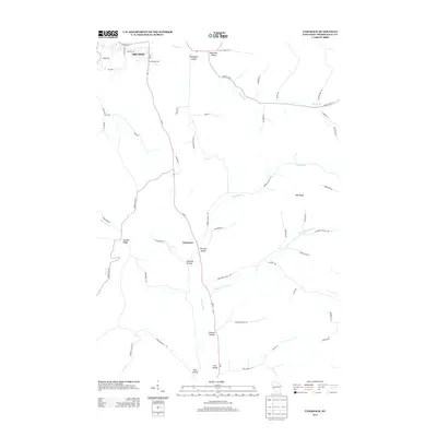
Historical Maps of Arcadia Through Time
30 maps found
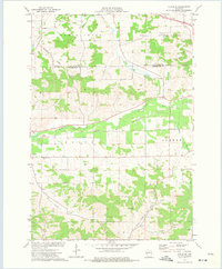
1969 Hegg
Trempealeau County, WI
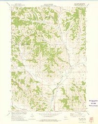
1973 Elk Creek
Trempealeau County, WI
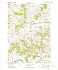
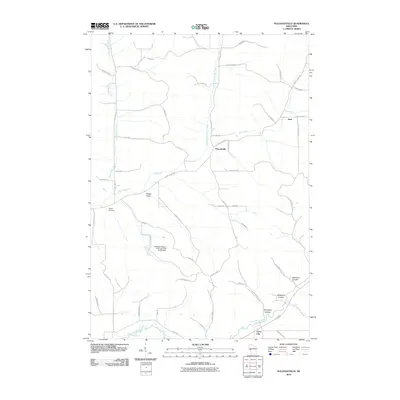
1973 Pleasantville
Trempealeau County, WI
1973 Strum SE
Trempealeau County, WI
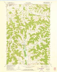
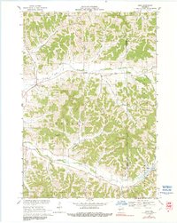
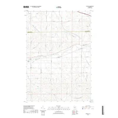
1973 Tamarack
Trempealeau County, WI
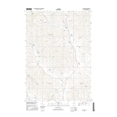
2010 Elk Creek
Trempealeau County, WI
2010 Hegg
Trempealeau County, WI
2010 Pleasantville
Trempealeau County, WI
2010 Strum SE
Trempealeau County, WI
2010 Tamarack
Trempealeau County, WI
2013 Elk Creek
Trempealeau County, WI
2013 Hegg
Trempealeau County, WI
2013 Pleasantville
Trempealeau County, WI
2013 Strum SE
Trempealeau County, WI
2013 Tamarack
Trempealeau County, WI
2015 Elk Creek
Trempealeau County, WI
2015 Hegg
Trempealeau County, WI
2015 Pleasantville
Trempealeau County, WI
2015 Strum SE
Trempealeau County, WI
2015 Tamarack
Trempealeau County, WI
2018 Elk Creek
Trempealeau County, WI
2018 Hegg
Trempealeau County, WI
2018 Pleasantville
Trempealeau County, WI
2018 Strum SE
Trempealeau County, WI
2018 Tamarack
Trempealeau County, WI
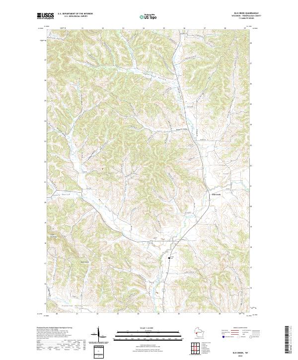
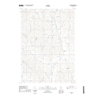
2022 Elk Creek
Trempealeau County, WI
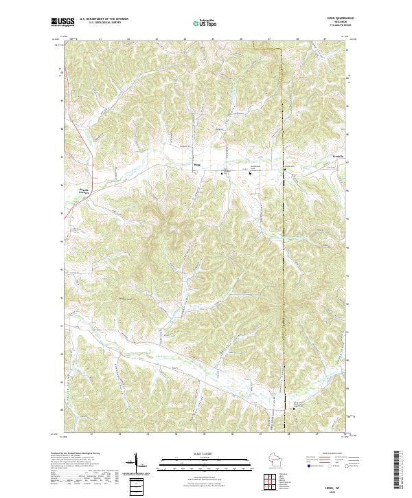
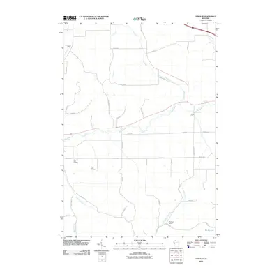
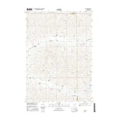
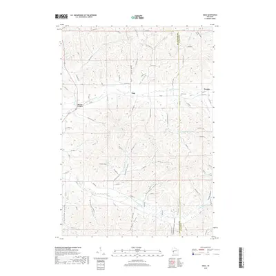
2022 Hegg
Trempealeau County, WI
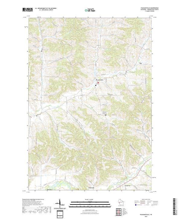
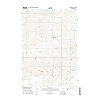
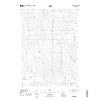
2022 Pleasantville
Trempealeau County, WI
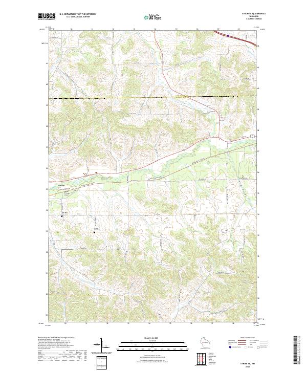
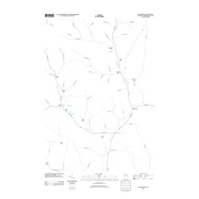
2022 Strum SE
Trempealeau County, WI
2022 Tamarack
Trempealeau County, WI