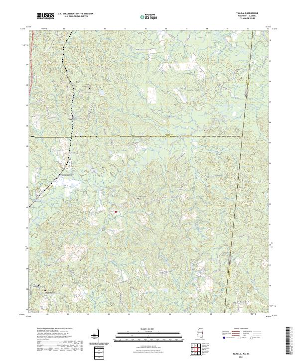
2024 Map of Tamola
USGS Topo · Published 2024About this map
Ponta Creek and its many tributaries, including Simmons Creek and Roasted Ear Creek, carve a complex drainage pattern across this borderland between Mississippi and Alabama. The small settlement of Tamola sits in the northwest, served by a network of rural routes like Old Hwy 45 Rd and Tamola Rd. This landscape is particularly notable for its significant funerary sites, reflecting generations of local settlement. In the southwest, the Lauderdale Springs Confederate - Union Cem stands as a poignant reminder of Civil War history, situated near the Lauderdale Cem. Other family and community sites, such as Mount Hebron Cem and Anna York Cem, are scattered throughout the hills. In the northeast, the Sucarnoochee River flows toward the state line, while the southern reaches are defined by Sweetwater Creek and Running Creek.
Find a feature on this map
61 named features on this map. Tap any name to fly to it.
Don’t see what you’re looking for? This feature index may not catch every label — zoom into the map to look around manually.
Map Details
Editions of this 2024 Tamola Map
This is the sole edition of this map. No revisions or reprints were ever made.
Historical Maps of Alabama Through Time
18 maps found
1962 Center Hill
Lauderdale County, MS
1962 Daleville
Lauderdale County, MS
1971 Meridian North
Lauderdale County, MS
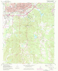
1971 Meridian South
Lauderdale County, MS

1971 Vimville
Lauderdale County, MS
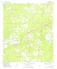
1974 Kewanee
Lauderdale County, MS
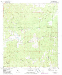
1974 Tamola
Lauderdale County, MS
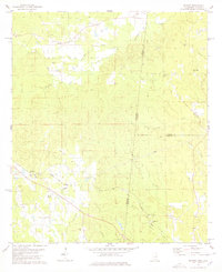
1978 Whynot
Lauderdale County, MS

1982 Meehan
Lauderdale County, MS
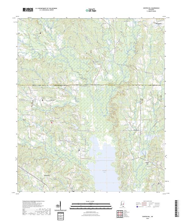
2024 Center Hill
Lauderdale County, MS
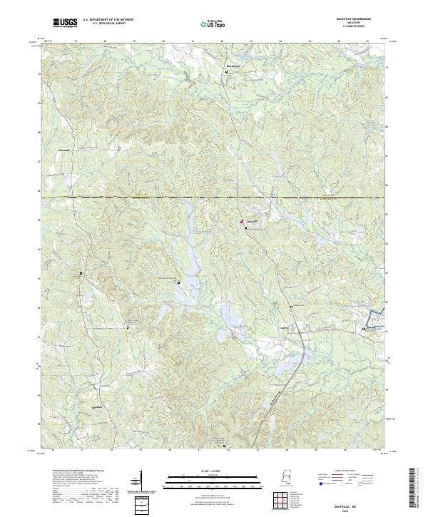
2024 Daleville
Lauderdale County, MS
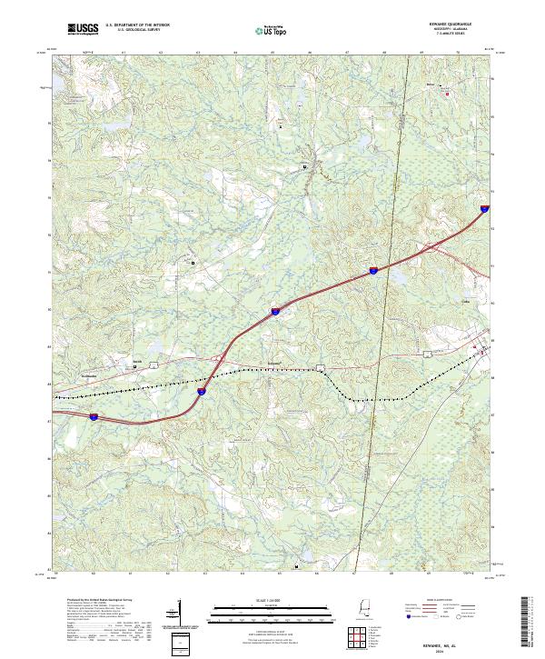
2024 Kewanee
Lauderdale County, MS
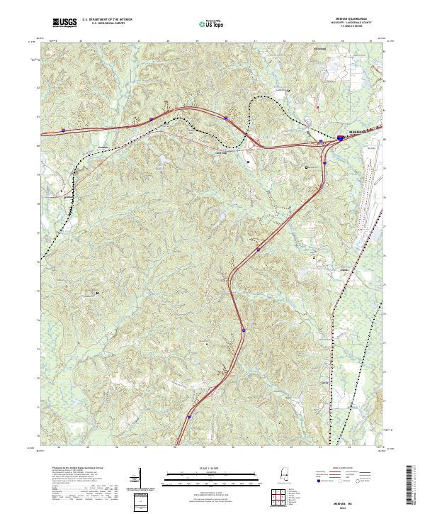
2024 Meehan
Lauderdale County, MS
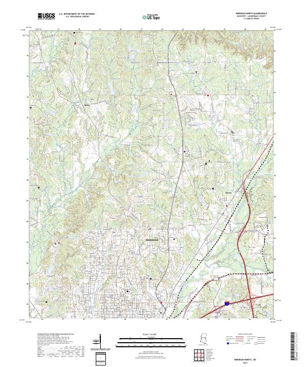
2024 Meridian North
Lauderdale County, MS
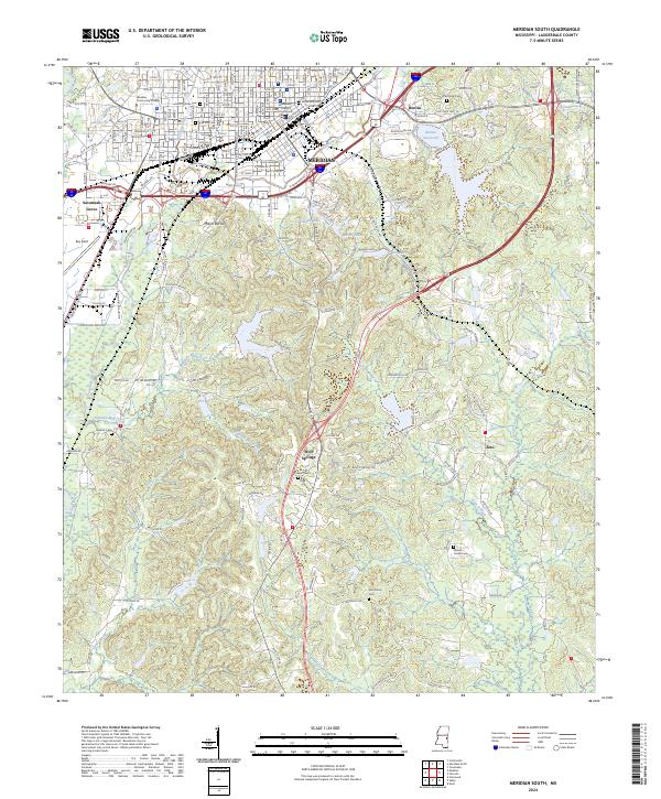
2024 Meridian South
Lauderdale County, MS
2024 Tamola
Lauderdale County, MS
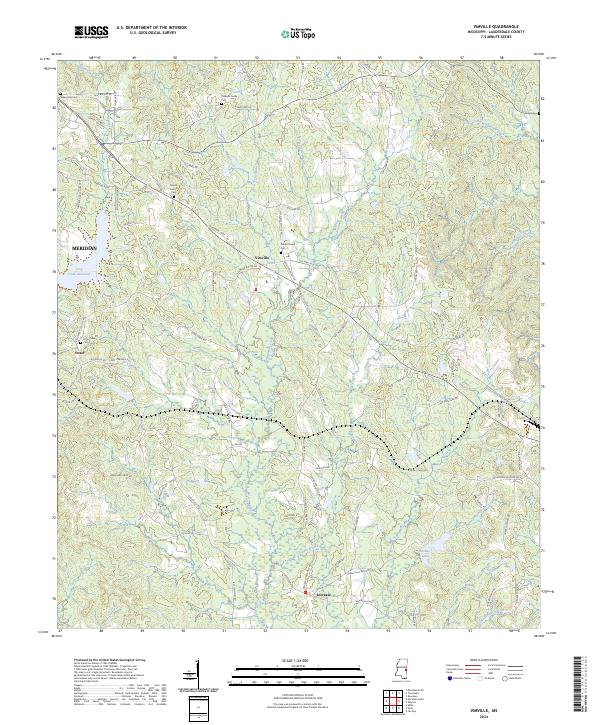
2024 Vimville
Lauderdale County, MS
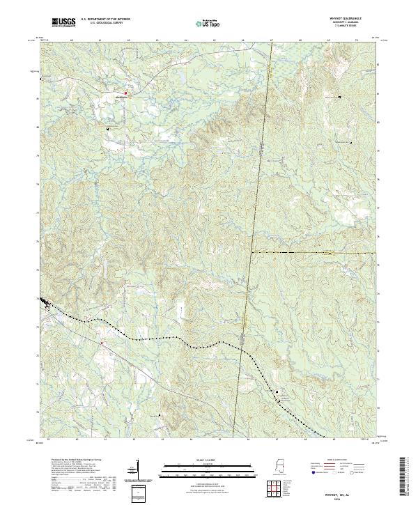
2024 Whynot
Lauderdale County, MS