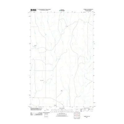
2011 Map of Tampico NE
USGS Topo · Published 2011About this map
David Horse Camp sits in the northern reaches of this Valley County landscape, a territory defined by a dense network of coulees and seasonal drainages. The hydrology of the area is heavily managed by a series of small-scale impoundments, including Ellsworth Dam to the west, Wagner Dam near the center, and the interestingly named Blue Cheese Dam to the south. These features suggest a landscape optimized for ranching or water conservation in a region where reliable water sources are vital.
Find a feature on this map
12 named features on this map. Tap any name to fly to it.
Don’t see what you’re looking for? This feature index may not catch every label — zoom into the map to look around manually.
Map Details
Editions of this 2011 Tampico NE Map
This is the sole edition of this map. No revisions or reprints were ever made.
Other maps of this area
1919 · Boundary
USGS Topo · 1:125,000
1943 · Glasgow
USGS Topo · 1:125,000

1954 · Glasgow
USGS Topo · 1:250,000

1957 · Glasgow
USGS Topo · 1:250,000

1958 · Glasgow
USGS Topo · 1:250,000
1969 · Cornwell Reservoir
USGS Topo · 1:24,000
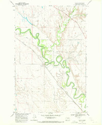
1969 · Tampico
USGS Topo · 1:24,000
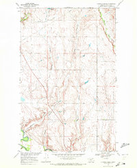
1969 · Chapman Coulee
USGS Topo · 1:24,000
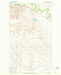
1969 · Vandalia
USGS Topo · 1:24,000
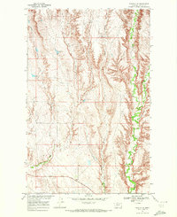
1969 · Tampico NE
USGS Topo · 1:24,000