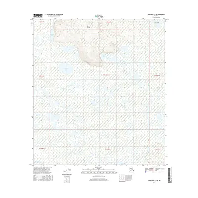
2016 Map of Tanacross A-3 SW
USGS Topo · Published 2016About this map
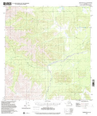
Titus Paul Hill stands as the primary topographic landmark in this interior Alaskan landscape, overlooking a complex system of wetlands and lakes. The hydrography is defined by the winding course of the Kalukna River, which meanders through the central portion of the territory before reaching the southern drainages. These expansive wetlands are punctuated by several named bodies of water with indigenous-derived names, including Tutkaimund Lake, Mundeho Lake, and Chindagmund Lake. Toward the southern boundary, the Tetlin River and Clearwater Cr provide further structure to the low-lying terrain. The map captures a largely untouched wilderness environment in the Tanacross region, where water and elevation are the primary features of the land, providing a clear record of the area's natural drainage patterns and traditional place names.
Find a feature on this map
19 named features on this map. Tap any name to fly to it.
Don’t see what you’re looking for? This feature index may not catch every label — zoom into the map to look around manually.
Map Details
Editions of this 2016 Tanacross A-3 SW Map
This is the sole edition of this map. No revisions or reprints were ever made.
Other maps of this area
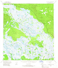
1948 · Tanacross A-3
USGS Topo · 1:63,360
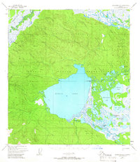
1948 · Tanacross A-4
USGS Topo · 1:63,360

1949 · Tanacross
USGS Topo · 1:250,000

1950 · Tanacross
USGS Topo · 1:250,000
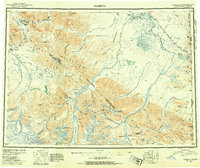
1950 · Nabesna
USGS Topo · 1:250,000
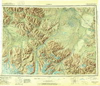
1951 · Nabesna
USGS Topo · 1:250,000
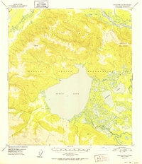
1952 · Tanacross A-4
USGS Topo · 1:63,360
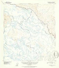
1952 · Tanacross A-3
USGS Topo · 1:63,360
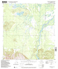
1954 · Nabesna D-3
USGS Topo · 1:63,360
1954 · Nabesna D-4
USGS Topo · 1:63,360