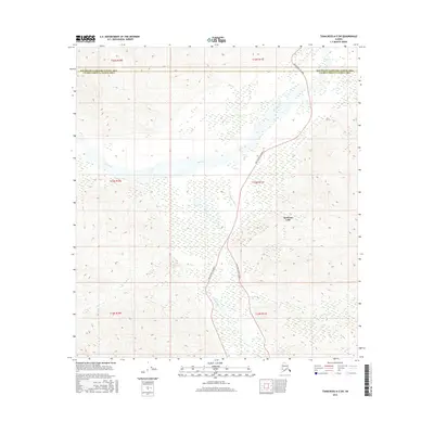
2016 Map of Tanacross A-5 SW
USGS Topo · Published 2016About this map
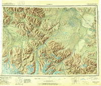
The Tok River and its tributary, the Little Tok River, dominate this interior Alaska landscape at the boundary of the Southeast Fairbanks and Valdez-Cordova Census Areas. This 2016 survey illustrates the modern transportation corridor where the Tok Cutoff Highway winds through the river valleys. A fascinating piece of local infrastructure is visible in the presence of the Old Tok Cutoff Road, which runs parallel to the newer highway near the southern boundary, providing a clear record of previous route alignments. The terrain rises significantly away from the water bodies, including Mentasta Lake and smaller streams like Log Cabin Cr, showing the essential role these valleys play in connecting isolated regions of the Alaskan interior.
Find a feature on this map
13 named features on this map. Tap any name to fly to it.
Don’t see what you’re looking for? This feature index may not catch every label — zoom into the map to look around manually.
Map Details
Editions of this 2016 Tanacross A-5 SW Map
This is the sole edition of this map. No revisions or reprints were ever made.
Other maps of this area
1948 · Tanacross A-6
USGS Topo · 1:63,360
1948 · Nabesna D-5
USGS Topo · 1:63,360
1948 · Tanacross A-5
USGS Topo · 1:63,360

1949 · Tanacross
USGS Topo · 1:250,000
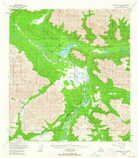
1949 · Nabesna D-6
USGS Topo · 1:63,360
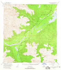
1949 · Tanacross A-5
USGS Topo · 1:63,360

1950 · Tanacross
USGS Topo · 1:250,000
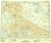
1950 · Nabesna
USGS Topo · 1:250,000
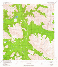
1950 · Nabesna D-5
USGS Topo · 1:63,360
1951 · Nabesna
USGS Topo · 1:250,000