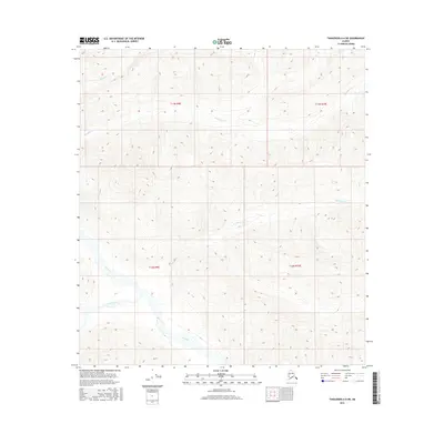
2016 Map of Tanacross A-6 NE
USGS Topo · Published 2016About this map
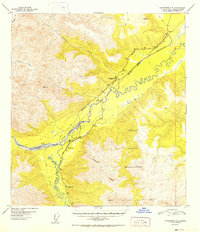
Tok River and its tributary Dry Tok Creek dominate the southern drainage of this interior Alaskan landscape, which transitions from river flats into the high-relief terrain of the eastern Tanana Valley. The map captures a detailed hydrographic network including Natohona Cr and Shindata Cr, which carve through the elevations defined by the Public Land Survey System boundaries of t17n r9e, t17n r10e, t16n r9e, and t16n r10e. This area reflects the topographic complexity of the northern foothills, where unnamed ridges rise between glacial-fed watercourses. Without roads or permanent settlements recorded, the map provides a baseline for studying the natural waterways and elevation contours that have long influenced seasonal access and resource navigation in this portion of the Unorganized Borough.
Find a feature on this map
9 named features on this map. Tap any name to fly to it.
Don’t see what you’re looking for? This feature index may not catch every label — zoom into the map to look around manually.
Map Details
Editions of this 2016 Tanacross A-6 NE Map
This is the sole edition of this map. No revisions or reprints were ever made.
Other maps of this area
1948 · Tanacross B-5
USGS Topo · 1:63,360
1948 · Tanacross A-6
USGS Topo · 1:63,360
1948 · Tanacross A-5
USGS Topo · 1:63,360

1949 · Tanacross
USGS Topo · 1:250,000
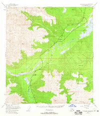
1949 · Tanacross A-5
USGS Topo · 1:63,360
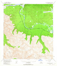
1949 · Tanacross B-6
USGS Topo · 1:63,360

1950 · Tanacross
USGS Topo · 1:250,000
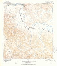
1951 · Tanacross B-6
USGS Topo · 1:63,360
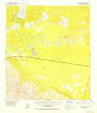
1952 · Tanacross B-5
USGS Topo · 1:63,360
1952 · Tanacross A-5
USGS Topo · 1:63,360