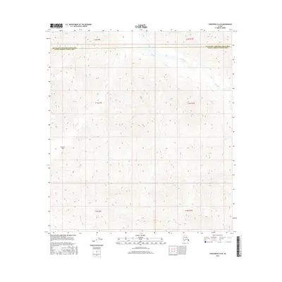
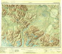
2016 Map of Tanacross A-6 SE
USGS Topo · Published 2016About this map
Sikonsina Pass serves as a primary geographic landmark in this high-altitude region where the boundaries of the Southeast Fairbanks and Valdez-Cordova census areas meet. The landscape is defined by its complex drainage systems, notably the Tok River which winds through the northern sections. Several smaller tributaries, including Timber Cr, Mentasta Cr, and Bartell Cr, carve through the terrain, illustrating the intricate hydrology of this interior Alaskan wilderness. This 2016 survey documents the untouched character of the land, showing no major roads or settlements, but instead focusing on the natural topography and the legal townships that organize this portion of the Unorganized Borough.
Find a feature on this map
12 named features on this map. Tap any name to fly to it.
Don’t see what you’re looking for? This feature index may not catch every label — zoom into the map to look around manually.
Map Details
Editions of this 2016 Tanacross A-6 SE Map
This is the sole edition of this map. No revisions or reprints were ever made.
Other maps of this area
1948 · Tanacross A-6
USGS Topo · 1:63,360
1948 · Nabesna D-5
USGS Topo · 1:63,360
1948 · Tanacross A-5
USGS Topo · 1:63,360

1949 · Tanacross
USGS Topo · 1:250,000
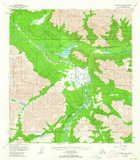
1949 · Nabesna D-6
USGS Topo · 1:63,360
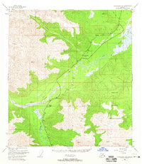
1949 · Tanacross A-5
USGS Topo · 1:63,360

1950 · Tanacross
USGS Topo · 1:250,000
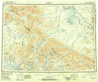
1950 · Nabesna
USGS Topo · 1:250,000
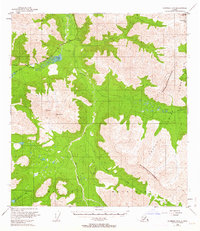
1950 · Nabesna D-5
USGS Topo · 1:63,360
1951 · Nabesna
USGS Topo · 1:250,000