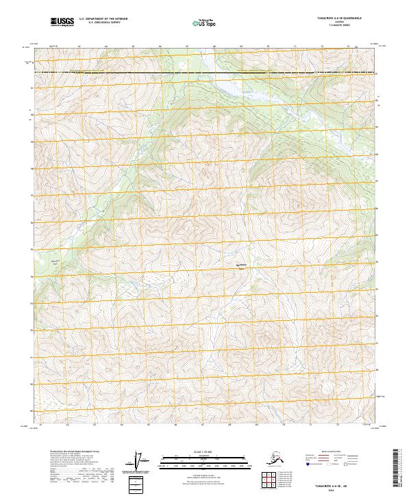
2024 Map of Tanacross A-6 SE
USGS Topo · Published 2024About this map
Mentasta Lake sits as a central landmark within this interior Alaskan landscape, where the headwaters of several critical drainage systems converge. The terrain is defined by the sharp transition between the Southeast Fairbanks Census Area and the Copper River Census Area, a boundary that follows the high ridges of the eastern Alaska Range. Sikonsina Pass provides a notable high-altitude crossing point, while the Tok River and Timber Creek carve deep valleys through the surrounding slopes. The presence of Bartell Creek in the southern reaches of the quadrangle further emphasizes the area’s importance as a watershed. This survey captures a wilderness environment largely untouched by permanent modern development, focusing instead on the hydrography and topography that have dictated travel through these mountains for generations.
Find a feature on this map
12 named features on this map. Tap any name to fly to it.
Don’t see what you’re looking for? This feature index may not catch every label — zoom into the map to look around manually.
Map Details
Editions of this 2024 Tanacross A-6 SE Map
This is the sole edition of this map. No revisions or reprints were ever made.
Other maps of this area

1948 · Tanacross A-6
USGS Topo · 1:63,360

1948 · Nabesna D-5
USGS Topo · 1:63,360

1948 · Tanacross A-5
USGS Topo · 1:63,360

1949 · Tanacross
USGS Topo · 1:250,000

1949 · Nabesna D-6
USGS Topo · 1:63,360

1949 · Tanacross A-5
USGS Topo · 1:63,360

1950 · Tanacross
USGS Topo · 1:250,000

1950 · Nabesna
USGS Topo · 1:250,000

1950 · Nabesna D-5
USGS Topo · 1:63,360

1951 · Nabesna
USGS Topo · 1:250,000