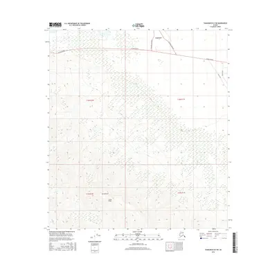
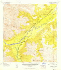
2016 Map of Tanacross B-5 SW
USGS Topo · Published 2016About this map
Tanacross serves as the focal point for this interior Alaskan landscape where the northern plains meet the rising foothills of the Alaska Range. The settlement is positioned near a junction of vital transportation corridors, including the primary Alaska Highway and the distinct alignments of Tanacross New Road and Tanacross Road Old. This transition from the flatlands to the mountains is marked by the prominent peak of Mt Neuberger, which anchors the southern portion of the sheet. The hydrological network is defined by several waterways that drain the northern slopes, most notably Yerrick Cr, Clearwater Cr, and Shosata Cr. These drainages create a complex pattern of wetlands and braided streams typical of the region's subarctic environment, offering a clear view of how early roads and modern highways were surveyed to navigate these glacial-fed systems.
Find a feature on this map
15 named features on this map. Tap any name to fly to it.
Don’t see what you’re looking for? This feature index may not catch every label — zoom into the map to look around manually.
Map Details
Editions of this 2016 Tanacross B-5 SW Map
This is the sole edition of this map. No revisions or reprints were ever made.
Other maps of this area
1948 · Tanacross B-5
USGS Topo · 1:63,360
1948 · Tanacross A-6
USGS Topo · 1:63,360
1948 · Tanacross A-5
USGS Topo · 1:63,360

1949 · Tanacross
USGS Topo · 1:250,000
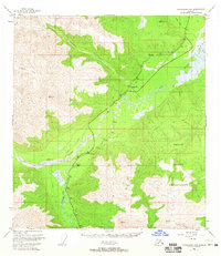
1949 · Tanacross A-5
USGS Topo · 1:63,360
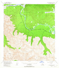
1949 · Tanacross B-6
USGS Topo · 1:63,360

1950 · Tanacross
USGS Topo · 1:250,000
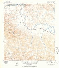
1951 · Tanacross B-6
USGS Topo · 1:63,360
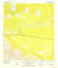
1952 · Tanacross B-5
USGS Topo · 1:63,360
1952 · Tanacross A-5
USGS Topo · 1:63,360