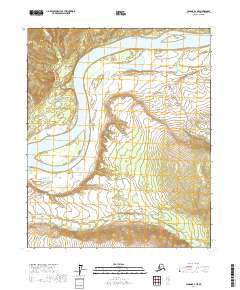
2017 Map of Tanana B-2 NE
USGS Topo · Published 2017About this map
The Yukon River dominates this interior Alaska landscape, carving a wide path through the Yukon-Koyukuk region. In this 2017 topographic survey, the river's dynamic nature is evident in the presence of large mid-stream landmasses such as Twelvemile Island and Garnet Island. These islands, along with the surrounding riverbanks, are defined by intricate contouring that illustrates the elevation changes of the river valley. Numerous tributaries feed into the main channel, including Marshall Cr, Garnet Cr, and Moose Cr, each cutting through the terrain to join the Yukon. The map provides a detailed view of the Public Land Survey System grid, showing the township and range boundaries that organize this remote stretch of the Alaskan wilderness.
Find a feature on this map
15 named features on this map. Tap any name to fly to it.
Don’t see what you’re looking for? This feature index may not catch every label — zoom into the map to look around manually.
Map Details
Editions of this 2017 Tanana B-2 NE Map
This is the sole edition of this map. No revisions or reprints were ever made.
Other maps of this area

1951 · Tanana
USGS Topo · 1:250,000

1956 · Tanana B-1
USGS Topo · 1:63,360

1956 · Tanana C-1
USGS Topo · 1:63,360

1956 · Tanana B-2
USGS Topo · 1:63,360

1956 · Tanana C-2
USGS Topo · 1:63,360

1956 · Tanana
USGS Topo · 1:250,000

1960 · Tanana
USGS Topo · 1:250,000
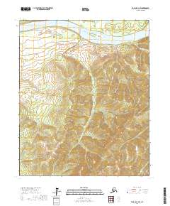
2017 · Tanana B-1 NW
USGS Topo · 1:25,000
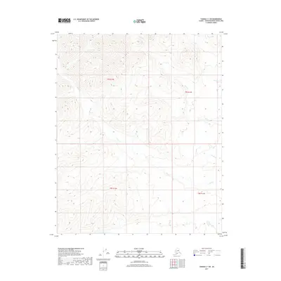
2017 · Tanana C-1 SW
USGS Topo · 1:25,000
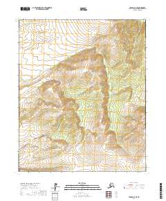
2017 · Tanana B-2 SE
USGS Topo · 1:25,000