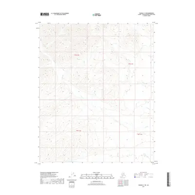
2017 Map of Tanana C-1 SW
USGS Topo · Published 2017About this map
Susie Cr and Sarah Cr carve through the northern drainage basins of this interior Alaska landscape, defining a wilderness region where natural topography remains the dominant feature. The absence of roads or permanent structures in this 2017 study reflects the persistent isolation of the Unorganized Borough. Waterways like Squaw Cr and Hannah Cr serve as the primary landmarks within the cadastral boundaries of townships t9n r14w, t9n r13w, t8n r14w, and t8n r13w. These townships provide a precise grid for identifying specific backcountry locations, which is essential for land management and remote navigation in a territory defined by high-elevation contours and seasonal stream flows.
Find a feature on this map
8 named features on this map. Tap any name to fly to it.
Don’t see what you’re looking for? This feature index may not catch every label — zoom into the map to look around manually.
Map Details
Editions of this 2017 Tanana C-1 SW Map
This is the sole edition of this map. No revisions or reprints were ever made.
Other maps of this area
1951 · Tanana
USGS Topo · 1:250,000
1956 · Tanana B-1
USGS Topo · 1:63,360
1956 · Tanana C-1
USGS Topo · 1:63,360
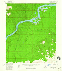
1956 · Tanana B-2
USGS Topo · 1:63,360
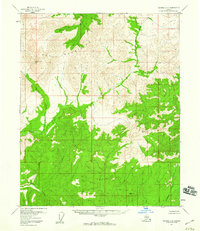
1956 · Tanana C-2
USGS Topo · 1:63,360
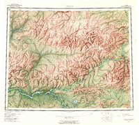
1956 · Tanana
USGS Topo · 1:250,000
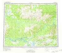
1960 · Tanana
USGS Topo · 1:250,000
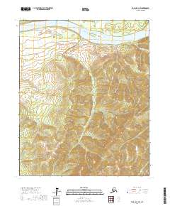
2017 · Tanana B-1 NW
USGS Topo · 1:25,000
2017 · Tanana C-2 SE
USGS Topo · 1:25,000
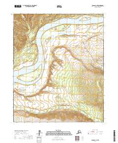
2017 · Tanana B-2 NE
USGS Topo · 1:25,000