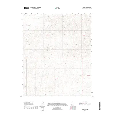
2017 Map of Tanana C-2 SE
USGS Topo · Published 2017About this map
Moose Creek winds through the interior of the Yukon-Koyukuk Census Area, defining the drainage patterns of this Alaskan landscape in the mid-2010s. The terrain is characterized by a dense network of ridges and valleys, where the elevation changes are documented through detailed contour intervals. To the east, Roadhouse Creek flows through the survey blocks of t8n r14w and t9n r14w, providing a clear look at the natural hydrology before these waters join larger systems. This survey, produced by the U.S. Geological Survey, uses data from the Public Land Survey System to delineate townships including t8n r15w and t9n r15w. The map serves as a precise record of the remote topography and watercourses in a region defined by its lack of established road infrastructure and human settlements.
Find a feature on this map
7 named features on this map. Tap any name to fly to it.
Don’t see what you’re looking for? This feature index may not catch every label — zoom into the map to look around manually.
Map Details
Editions of this 2017 Tanana C-2 SE Map
This is the sole edition of this map. No revisions or reprints were ever made.
Other maps of this area
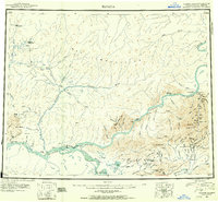
1951 · Tanana
USGS Topo · 1:250,000
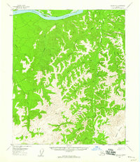
1956 · Tanana B-1
USGS Topo · 1:63,360
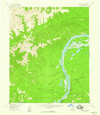
1956 · Tanana C-1
USGS Topo · 1:63,360
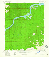
1956 · Tanana B-2
USGS Topo · 1:63,360
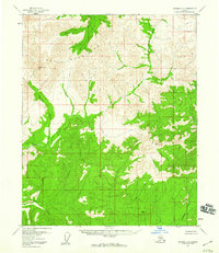
1956 · Tanana C-2
USGS Topo · 1:63,360
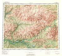
1956 · Tanana
USGS Topo · 1:250,000
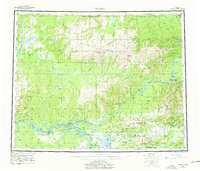
1960 · Tanana
USGS Topo · 1:250,000
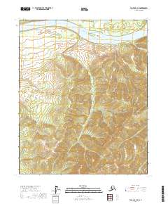
2017 · Tanana B-1 NW
USGS Topo · 1:25,000
2017 · Tanana C-1 SW
USGS Topo · 1:25,000
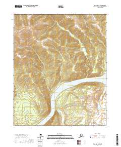
2017 · Tanana B-2 NW
USGS Topo · 1:25,000