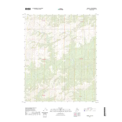
2023 Map of Tanana C-1 NW
USGS Topo · Published 2023About this map
Lush Creek and Twentymile Creek define the drainage patterns of this interior landscape in the Yukon-Koyukuk region. This 2023 edition reflects a remote area where the land is primarily characterized by elevation contours and watercourses rather than human infrastructure. The presence of Sarah Creek in the southern reaches highlights the sparse but critical hydrography that has likely influenced seasonal travel and land use for generations. Surveyed with modern SPOT imagery and national hydrography datasets, the map provides a precise record of these natural features within their respective township and range boundaries, including t10n r14w and t11n r13w.
Find a feature on this map
9 named features on this map. Tap any name to fly to it.
Don’t see what you’re looking for? This feature index may not catch every label — zoom into the map to look around manually.
Map Details
Editions of this 2023 Tanana C-1 NW Map
This is the sole edition of this map. No revisions or reprints were ever made.
Other maps of this area

1951 · Tanana
USGS Topo · 1:250,000

1956 · Tanana C-1
USGS Topo · 1:63,360

1956 · Tanana D-2
USGS Topo · 1:63,360

1956 · Tanana C-2
USGS Topo · 1:63,360

1956 · Tanana D-1
USGS Topo · 1:63,360

1956 · Tanana
USGS Topo · 1:250,000

1960 · Tanana
USGS Topo · 1:250,000
2017 · Tanana C-1 SW
USGS Topo · 1:25,000
2017 · Tanana C-2 SE
USGS Topo · 1:25,000
2017 · Tanana D-1 SE
USGS Topo · 1:25,000