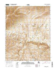
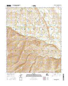
2016 Map of Tanana C-6 NE
USGS Topo · Published 2016About this map
Dagislakhna Cr winds through this interior landscape of central Alaska, serving as the primary drainage across several townships. This 2016 topographic study provides high-resolution contour data for a remote region defined by a complex network of unnamed wetlands and subtle elevation shifts. The terrain is structured by the Public Land Survey System boundaries of t11n r25w, t11n r24w, and t10n r25w, showing how the land was partitioned for administrative purposes even in areas without established roads or settlements. Geographically, the map reveals a transition from the higher ground in the north toward the lower, marshy areas surrounding the creek in the south, illustrating the natural hydrological patterns of the Yukon-Koyukuk region.
Find a feature on this map
7 named features on this map. Tap any name to fly to it.
Don’t see what you’re looking for? This feature index may not catch every label — zoom into the map to look around manually.
Map Details
Editions of this 2016 Tanana C-6 NE Map
This is the sole edition of this map. No revisions or reprints were ever made.
Other maps of this area

1951 · Tanana
USGS Topo · 1:250,000

1956 · Tanana C-6
USGS Topo · 1:63,360

1956 · Tanana D-6
USGS Topo · 1:63,360

1956 · Tanana C-5
USGS Topo · 1:63,360
1956 · Tanana D-5
USGS Topo · 1:63,360

1956 · Tanana
USGS Topo · 1:250,000

1960 · Tanana
USGS Topo · 1:250,000
2016 · Tanana C-5 NW
USGS Topo · 1:25,000
2016 · Tanana C-6 SE
USGS Topo · 1:25,000
2016 · Tanana C-5 SW
USGS Topo · 1:25,000