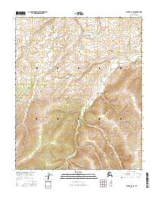
2016 Map of Tanana C-6 SE
USGS Topo · Published 2016About this map
Wrongtrail Cr defines the drainage of this interior Alaskan wilderness, cutting through the high country where the boundaries of t8n r25w and t8n r24w meet. The landscape is characterized by steep elevation changes and the intricate waterway patterns of the Yukon-Koyukuk region. Surveyed for the National Geospatial Program, this map captures the remote character of the Tanana C-6 SE quadrangle, detailing the townships of t9n r25w and t9n r24w during the mid-2010s. The absence of roads or established settlements emphasizes the isolation of this terrain, where the hydrography of the Wrongtrail Creek system provides the primary geographic orientation for navigation and land management.
Find a feature on this map
5 named features on this map. Tap any name to fly to it.
Don’t see what you’re looking for? This feature index may not catch every label — zoom into the map to look around manually.
Map Details
Editions of this 2016 Tanana C-6 SE Map
This is the sole edition of this map. No revisions or reprints were ever made.
Other maps of this area

1951 · Tanana
USGS Topo · 1:250,000

1956 · Tanana B-5
USGS Topo · 1:63,360

1956 · Tanana B-6
USGS Topo · 1:63,360

1956 · Tanana C-6
USGS Topo · 1:63,360

1956 · Tanana C-5
USGS Topo · 1:63,360

1956 · Tanana
USGS Topo · 1:250,000

1960 · Tanana
USGS Topo · 1:250,000
2016 · Tanana B-6 NW
USGS Topo · 1:25,000
2016 · Tanana B-5 NW
USGS Topo · 1:25,000
2016 · Tanana C-5 NW
USGS Topo · 1:25,000