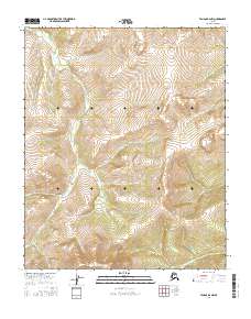
2016 Map of Tanana B-6 NW
USGS Topo · Published 2016About this map
Moran Dome stands as the central topographic focal point of this interior Alaskan wilderness, anchor of a landscape defined by an intricate network of drainages. The area is dominated by the headwaters of several remote streams, most notably the meandering Melozimoran Cr and Tozimoran Cr. These watercourses carve through the high elevations of the Yukon-Koyukuk region, creating a complex series of ridges and valleys.
Find a feature on this map
15 named features on this map. Tap any name to fly to it.
Don’t see what you’re looking for? This feature index may not catch every label — zoom into the map to look around manually.
Map Details
Editions of this 2016 Tanana B-6 NW Map
This is the sole edition of this map. No revisions or reprints were ever made.
Other maps of this area

1951 · Melozitna
USGS Topo · 1:250,000

1951 · Tanana
USGS Topo · 1:250,000

1956 · Melozitna C-1
USGS Topo · 1:63,360

1956 · Melozitna B-1
USGS Topo · 1:63,360

1956 · Tanana B-6
USGS Topo · 1:63,360

1956 · Tanana C-6
USGS Topo · 1:63,360

1956 · Melozitna
USGS Topo · 1:250,000

1956 · Tanana
USGS Topo · 1:250,000

1960 · Tanana
USGS Topo · 1:250,000
2016 · Tanana B-6 SW
USGS Topo · 1:25,000