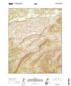
2017 Map of Tanana D-2 NE
USGS Topo · Published 2017About this map
The Ray River snakes through the northern reaches of this landscape, carving a low-lying drainage through the interior of the Yukon-Koyukuk Census Area. This region is characterized by significant elevation changes, with the terrain rising sharply from the river valley toward the southern portions of the map, where peaks reach over 1,800 feet. The cartography is defined by the Public Land Survey System grid, covering townships such as T14n R15w and T13n R14w. This 2017 study illustrates a remote Alaskan wilderness devoid of modern roads or permanent settlements, where the primary geographical landmarks are the complex contours of the hills and the winding course of the river. The absence of human infrastructure highlights the untouched nature of this subarctic environment, making it a primary reference for understanding the natural topography before any potential future development.
Find a feature on this map
7 named features on this map. Tap any name to fly to it.
Don’t see what you’re looking for? This feature index may not catch every label — zoom into the map to look around manually.
Map Details
Editions of this 2017 Tanana D-2 NE Map
This is the sole edition of this map. No revisions or reprints were ever made.
Other maps of this area

1951 · Bettles
USGS Topo · 1:250,000

1951 · Tanana
USGS Topo · 1:250,000

1956 · Bettles
USGS Topo · 1:250,000

1956 · Tanana D-2
USGS Topo · 1:63,360

1956 · Tanana D-1
USGS Topo · 1:63,360

1956 · Tanana
USGS Topo · 1:250,000

1960 · Tanana
USGS Topo · 1:250,000
1970 · Bettles A-1
USGS Topo · 1:63,360
1970 · Bettles A-2
USGS Topo · 1:63,360
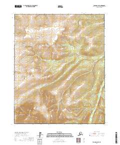
2017 · Tanana D-2 SW
USGS Topo · 1:25,000