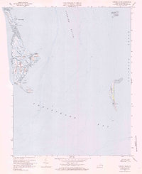
1968 Map of Tangier Island
USGS Topo · Published 1985About this map
Tangier Island and its surrounding archipelago dominate this mid-century hydrographic and topographic study of the Chesapeake Bay. The map details the delicate relationship between the small community at Tangier and the encroaching waters of the Tangier Sound and Pocomoke Sound. Settlement patterns are concentrated along the north-south elevations of West Ridge, Main Ridge, and Canton Ridge, where numerous Cemeteries and a Silo are documented.
Find a feature on this map
34 named features on this map. Tap any name to fly to it.
Don’t see what you’re looking for? This feature index may not catch every label — zoom into the map to look around manually.
Map Details
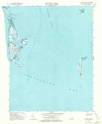
Editions of this 1968 Tangier Island Map
2 editions found
Other maps of this area

1903 · Crisfield
USGS Topo · 1:62,500

1917 · Ewell
USGS Topo · 1:62,500

1920 · Crisfield
USGS Topo · 1:62,500

1942 · Chesconessex
USGS Topo · 1:31,680

1942 · Nandua Creek
USGS Topo · 1:24,000

1942 · Ewell
USGS Topo · 1:24,000

1942 · Great Fox Island
USGS Topo · 1:24,000

1942 · Tangier Island
USGS Topo · 1:24,000
1943 · Ewell
USGS Topo · 1:31,680

1943 · Pungoteague
USGS Topo · 1:31,680