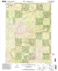
1998 Map of Tangle Blue Lake
USGS Topo · Published 2003About this map
The Alps Shasta - Trinity Wilderness defines this high-elevation landscape, where the Pacific Crest National Scenic Trail traverses the Scott Mountains near the border of Siskiyou and Trinity counties. This late-1990s revision reveals a terrain shaped by both remote habitation and deep-mountain extraction, most notably at the Grand National Mine near Messner Cabin. The drainage network is complex, with Tangle Blue Creek and Ripple Creek feeding into the main artery of the Trinity River.
Find a feature on this map
41 named features on this map. Tap any name to fly to it.
Don’t see what you’re looking for? This feature index may not catch every label — zoom into the map to look around manually.
Map Details
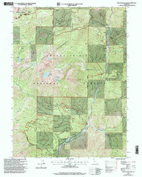
Editions of this 1998 Tangle Blue Lake Map
2 editions found
Other maps of this area

1886 · Shasta
USGS Topo · 1:250,000

1894 · Shasta
USGS Topo · 1:250,000

1923 · Sawyers Bar
USGS Topo · 1:125,000

1931 · Etna
USGS Topo · 1:96,000

1934 · Etna
USGS Topo · 1:125,000

1948 · Weed
USGS Topo · 1:250,000

1950 · Weed
USGS Topo · 1:250,000
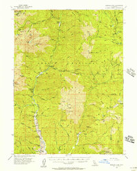
1955 · Bonanza King
USGS Topo · 1:62,500
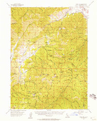
1955 · China Mountain
USGS Topo · 1:62,500

1955 · Etna
USGS Topo · 1:62,500