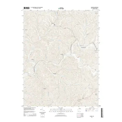
2014 Map of Tanner
USGS Topo · Published 2014About this map
Tanner and the winding Little Kanawha River anchor this topographic study of Gilmer County, where the landscape is defined by a dense network of creek valleys and ridges. The river corridor serves as a primary artery for local life, flanked by the settlement at Kanawha Drive and several family burying grounds, including the Riddle Cem and Woodford Cem. This 2014 data shows how traditional Appalachian settlement patterns persist, with small communities like De Kalb, Hardman, and Withers situated near the intersections of major runs and county roads.
Find a feature on this map
85 named features on this map. Tap any name to fly to it.
Don’t see what you’re looking for? This feature index may not catch every label — zoom into the map to look around manually.
Map Details
Editions of this 2014 Tanner Map
This is the sole edition of this map. No revisions or reprints were ever made.
Other maps of this area

1893 · Sutton
USGS Topo · 1:125,000

1906 · Holbrook
USGS Topo · 1:62,500

1906 · Glenville
USGS Topo · 1:62,500

1907 · Harrisville
USGS Topo · 1:62,500

1907 · Arnoldsburg
USGS Topo · 1:62,500

1924 · Harrisville
USGS Topo · 1:62,500

1924 · Holbrook
USGS Topo · 1:62,500

1925 · Glenville
USGS Topo · 1:62,500

1925 · Arnoldsburg
USGS Topo · 1:62,500

1926 · Harrisville
USGS Topo · 1:62,500