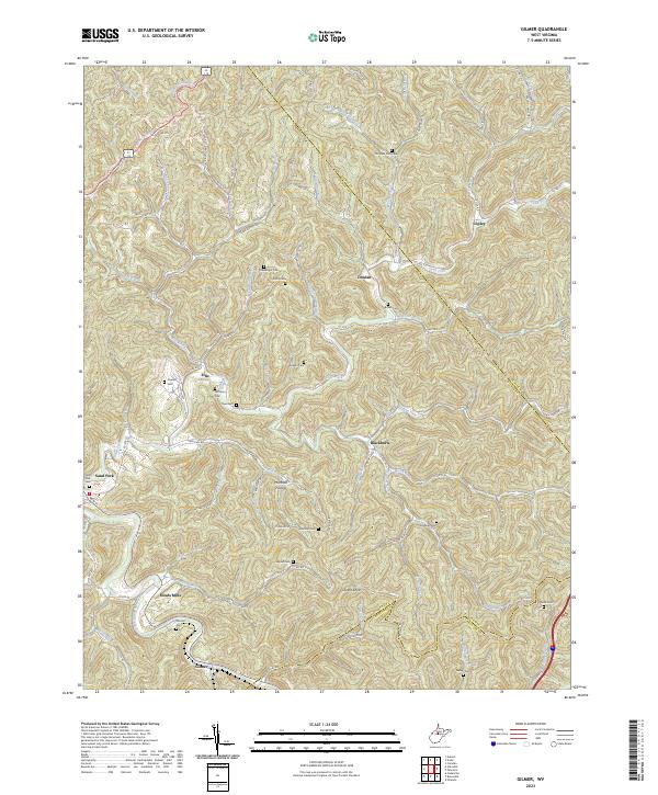
2023 Map of Tanner
USGS Topo · Published 2023About this map
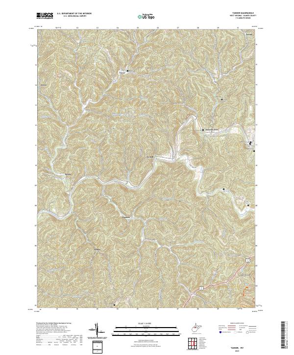
Little Kanawha River winds through the heart of this Gilmer County landscape, dictating the placement of settlements and mountain roads. In this modern survey, small communities like De Kalb and Tanner are situated near these riparian corridors, while the higher elevations are marked by landmarks such as Big Pine Knob. The map is particularly useful for genealogical research, as it documents numerous family and community burial grounds, including the Baptist Church Cem, Holbert Cem, and the Barton Cem near the eastern boundary.
Find a feature on this map
78 named features on this map. Tap any name to fly to it.
Don’t see what you’re looking for? This feature index may not catch every label — zoom into the map to look around manually.
Map Details
Editions of this 2023 Tanner Map
This is the sole edition of this map. No revisions or reprints were ever made.
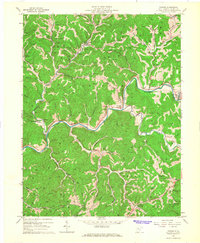
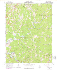
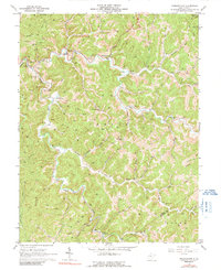
Historical Maps of Kanawha Drive Through Time
6 maps found