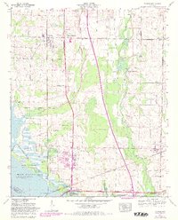
1963 Map of Tanner
USGS Topo · Published 1982About this map
Swan Creek and Piney Creek meander through the Tennessee Valley landscape of Limestone County, defining a region where long-established agriculture meets mid-century infrastructure. The southern edge of the map is dominated by the Wheeler National Wildlife Refuge and the Harris-Sweetwater Dewatering Area, revealing the complex water management systems surrounding the Tennessee River and Wheeler Lake. These natural areas contrast with the industrial and transportation corridor established by the Louisville and Nashville Railroad and the Southern Railway, which intersect at Decatur Junction.
Find a feature on this map
63 named features on this map. Tap any name to fly to it.
Don’t see what you’re looking for? This feature index may not catch every label — zoom into the map to look around manually.
Map Details
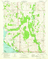
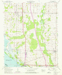
Editions of this 1963 Tanner Map
3 editions found
Other maps of this area

1888 · Huntsville
USGS Topo · 1:125,000

1892 · Huntsville
USGS Topo · 1:125,000

1935 · Athens
USGS Topo · 1:24,000

1936 · Capshaw
USGS Topo · 1:24,000

1936 · Decatur
USGS Topo · 1:24,000

1936 · Stewart Cross Roads
USGS Topo · 1:24,000

1936 · Ripley
USGS Topo · 1:24,000

1936 · Trinity
USGS Topo · 1:24,000

1936 · Mason Ridge
USGS Topo · 1:24,000

1936 · Tanner
USGS Topo · 1:24,000