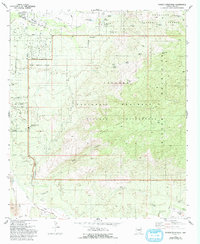
1981 Map of Tanque Verde Peak
USGS Topo · Published 1993About this map
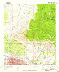
Tanque Verde Ridge and the Rincon Mountains dominate this landscape on the eastern edge of Tucson, captured in the early 1980s as suburban expansion met the desert foothills. The map reveals the early residential footprint near Twin Hills, where streets like East Speedway Road and East Broadway end at the Old Military Reservation Boundary. This transition from organized street grids to the open terrain of the Saguaro National Monument illustrates the careful balance of conservation and development in Pima County.
Find a feature on this map
49 named features on this map. Tap any name to fly to it.
Don’t see what you’re looking for? This feature index may not catch every label — zoom into the map to look around manually.
Map Details
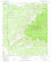
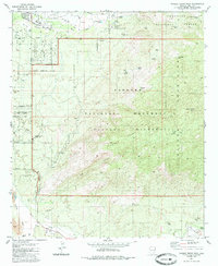
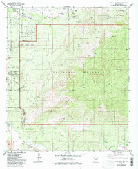
Editions of this 1981 Tanque Verde Peak Map
4 editions found
Other maps of this area

1904 · Tucson
USGS Topo · 1:125,000

1905 · Tucson
USGS Topo · 1:125,000

1948 · Tucson
USGS Topo · 1:62,500

1956 · Tucson
USGS Topo · 1:250,000

1957 · Tucson East
USGS Topo · 1:24,000

1957 · Bellota Ranch
USGS Topo · 1:62,500

1957 · Tucson
USGS Topo · 1:62,500

1957 · Rincon Valley
USGS Topo · 1:62,500

1957 · Sabino Canyon
USGS Topo · 1:24,000
1957 · Mount Lemmon
USGS Topo · 1:62,500