Loading...
Loading map...1983 Map of Taos
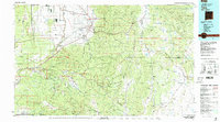
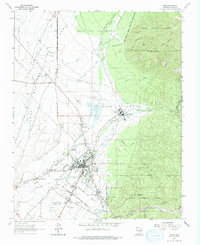
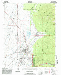
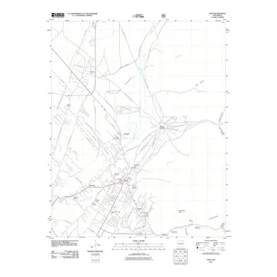
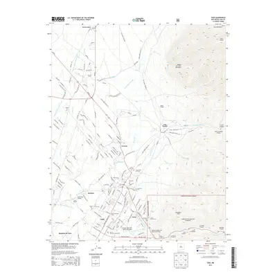
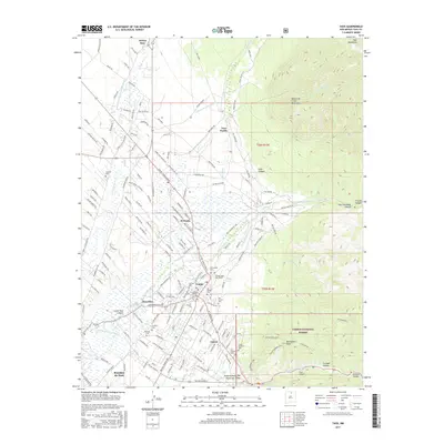
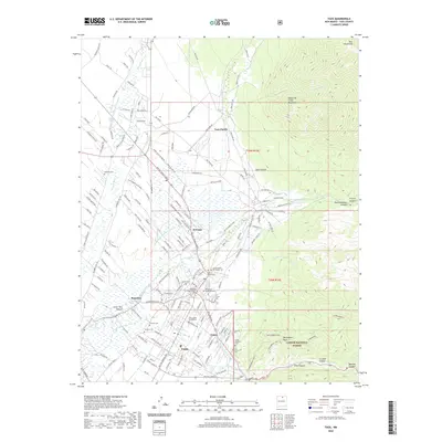
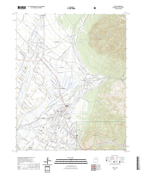
USGS Topo · Published 1986This historical map portrays the area of Taos in 1983, primarily covering Taos as well as portions of Rio Arriba County, Colfax County, Santa Fe County, and Mora County. Featuring a scale of 1:100,000, this map provides a highly detailed snapshot of the terrain, roads, buildings, counties, and historical landmarks in the Taos region at the time. Published in 1986, it is one of 2 known editions of this map due to revisions or reprints.
Map Details
Date Portrayed1983
Date Published1986
PublisherU.S. Geological Survey
Map TypeTopographic
Scale1:100,000
Physical Dimensions43.5 x 24.1 inches
Editions of this 1983 Taos Map
2 editions found

Historical Maps of Taos Through Time
8 maps found
Featured Locations
Source Details
SourceU.S. Geological Survey
CopyrightPublic Domain