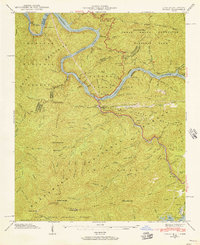
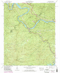
1940 Map of Tapoco
USGS Topo · Published 1956About this map
Calderwood Dam and Che Oah Dam anchor this mountain landscape, illustrating the massive hydroelectric development of the Little Tennessee River during the early 20th century. The settlement of Tapoco serves as a central hub in a region defined by three national forests—the Cherokee, Nantahala, and Great Smoky Mountains. This 1940 field examination reveals a network of high-elevation gaps and meadows, including Deals Gap and Jenkins Meadow, alongside significant infrastructure like the Hydro-Electric Tunnel. For those researching local heritage, the map identifies small community centers such as Beers School and Bethel Church, while tracing the Appalachian Trail as it follows the crest between Tennessee and North Carolina. Isolated family sites, including Farley Cemetery and Orr Cemetery, remain preserved in the terrain near the Che Oah River.
Find a feature on this map
108 named features on this map. Tap any name to fly to it.
Don’t see what you’re looking for? This feature index may not catch every label — zoom into the map to look around manually.
Map Details
Editions of this 1940 Tapoco Map
5 editions found
Other maps of this area

1886 · Knoxville
USGS Topo · 1:125,000

1892 · Knoxville
USGS Topo · 1:125,000

1893 · Murphy
USGS Topo · 1:125,000

1894 · Knoxville
USGS Topo · 1:125,000

1895 · Loudon
USGS Topo · 1:125,000

1895 · Knoxville
USGS Topo · 1:125,000

1901 · Knoxville
USGS Topo · 1:125,000

1914 · Murphy
USGS Topo · 1:125,000

1927 · Big Junction
USGS Topo · 1:24,000

1933 · Haw Knob
USGS Topo · 1:48,000