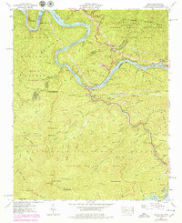
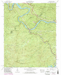
1940 Map of Tapoco
USGS Topo · Published 1979About this map
Tapoco sits at a critical hydroelectric and mountain crossroads where the Little Tennessee River and Che Oah River are harnessed by a series of massive civil engineering projects. The landscape is defined by the industrial presence of the Calderwood Dam, Che Oah Dam, and Santeetlah Dam, along with an extensive Hydro-Electric Tunnel system that redirects water through the mountains.
Find a feature on this map
109 named features on this map. Tap any name to fly to it.
Don’t see what you’re looking for? This feature index may not catch every label — zoom into the map to look around manually.
Map Details
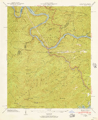
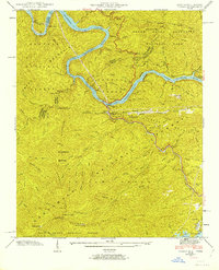
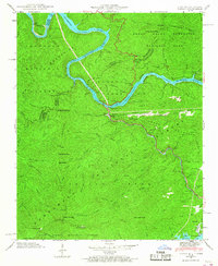
Editions of this 1940 Tapoco Map
5 editions found
Other maps of this area

1886 · Knoxville
USGS Topo · 1:125,000

1892 · Knoxville
USGS Topo · 1:125,000

1893 · Murphy
USGS Topo · 1:125,000

1894 · Knoxville
USGS Topo · 1:125,000

1895 · Loudon
USGS Topo · 1:125,000

1895 · Knoxville
USGS Topo · 1:125,000

1901 · Knoxville
USGS Topo · 1:125,000

1914 · Murphy
USGS Topo · 1:125,000

1927 · Big Junction
USGS Topo · 1:24,000

1933 · Haw Knob
USGS Topo · 1:48,000