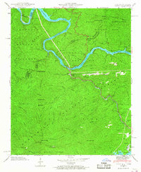
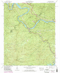
1940 Map of Tapoco
USGS Topo · Published 1968About this map
Calderwood Dam, Cheoah Dam, and Santeetlah Dam anchor the river-driven landscape along the Little Tennessee River and Cheoah River. This mid-century survey documents the region's hydro-electric infrastructure, featuring a Hydro-Electric Tunnel and the formation of Calderwood Lake. Beyond the industrial activity at Tapoco, the map reveals a rugged backcountry protected by the Nantahala National Forest and the Great Smoky Mountains National Park. Evidence of local life is found at Beers Sch and Bethel Ch, while the remote high country is crossed by the Appalachian Trail. For genealogists and researchers, the presence of family-named sites like Farley Cem and Orr Cem provides specific connections to the residents of these mountain coves before mid-century changes reshaped the valley.
Find a feature on this map
91 named features on this map. Tap any name to fly to it.
Don’t see what you’re looking for? This feature index may not catch every label — zoom into the map to look around manually.
Map Details
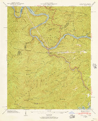
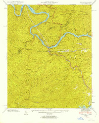
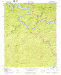
Editions of this 1940 Tapoco Map
5 editions found
Other maps of this area

1886 · Knoxville
USGS Topo · 1:125,000

1892 · Knoxville
USGS Topo · 1:125,000

1893 · Murphy
USGS Topo · 1:125,000

1894 · Knoxville
USGS Topo · 1:125,000

1895 · Loudon
USGS Topo · 1:125,000

1895 · Knoxville
USGS Topo · 1:125,000

1901 · Knoxville
USGS Topo · 1:125,000

1914 · Murphy
USGS Topo · 1:125,000

1927 · Big Junction
USGS Topo · 1:24,000

1933 · Haw Knob
USGS Topo · 1:48,000