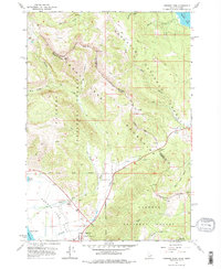
1964 Map of Targhee Pass
USGS Topo · Published 1978About this map
Targhee Pass serves as a critical geographic marker where the Continental Divide meets the boundary between Idaho and Montana. This high-altitude landscape is defined by the massive watersheds of Henrys Lake and Hebgen Lake, connected by a network of drainage systems including Howard Creek and Targhee Creek. The 1964 survey captures a moment of emerging recreation at the Lionhead Ski Area and local traveler services at the Howard Spring Wayside. To the southwest, the quiet presence of Targhee Cemetery and a nearby Gravel Pit near the edge of the lake flats indicate the localized human footprint within the larger protected expanses of the Targhee National Forest and Gallatin National Forest. Steep ridges like Mount Two Top and Bald Peak dominate the topography, illustrating the challenging terrain that dictated early pack trails and road placement through the mountains.
Find a feature on this map
32 named features on this map. Tap any name to fly to it.
Don’t see what you’re looking for? This feature index may not catch every label — zoom into the map to look around manually.
Map Details
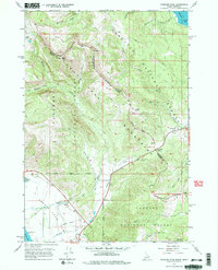
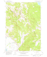
Editions of this 1964 Targhee Pass Map
4 editions found
Other maps of this area

1950 · Hebgen Dam
USGS Topo · 1:62,500

1955 · Ashton
USGS Topo · 1:250,000

1958 · Ashton
USGS Topo · 1:250,000

1958 · West Yellowstone
USGS Topo · 1:62,500
1958 · Tepee Creek
USGS Topo · 1:62,500

1960 · Ashton
USGS Topo · 1:250,000

1964 · Targhee Pass
USGS Topo · 1:24,000

1964 · Targhee Peak
USGS Topo · 1:24,000

1964 · Sawtell PK
USGS Topo · 1:24,000

1964 · Big Springs
USGS Topo · 1:24,000