
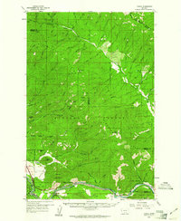
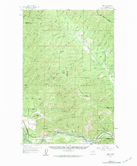
1959 Map of Tarkio
USGS Topo · Published 1961About this map
The Clark Fork river corridor defines the southern portion of this region, serving as the primary artery for both transportation and early settlement. At the close of the 1950s, the rail infrastructure of the Chicago Milwaukee St Paul and Pacific and the Northern Pacific railroads remains prominent, connecting the small communities of Tarkio, Martel, and Rivulet. These settlements are closely tied to the river and the surrounding Lolo National Forest, where the landscape is carved by numerous drainages like Ninemile Creek and Cedar Creek.
Find a feature on this map
69 named features on this map. Tap any name to fly to it.
Don’t see what you’re looking for? This feature index may not catch every label — zoom into the map to look around manually.
Map Details
Editions of this 1959 Tarkio Map
3 editions found
Other maps of this area

1911 · Lolo
USGS Topo · 1:250,000

1912 · Missoula
USGS Topo · 1:125,000

1913 · Lolo
USGS Topo · 1:250,000

1956 · Wallace
USGS Topo · 1:250,000

1956 · Hamilton
USGS Topo · 1:250,000

1959 · Hamilton
USGS Topo · 1:250,000

1959 · Alberton
USGS Topo · 1:62,500

1959 · Perma
USGS Topo · 1:62,500

1959 · Plains
USGS Topo · 1:62,500

1960 · Wallace
USGS Topo · 1:250,000