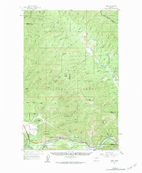
1959 Map of Tarkio
USGS Topo · Published 1984About this map
Ninemile Creek carves a deep valley through the northern reaches of this mountain landscape, providing a primary corridor for early settlement and transport. In the late 1950s, the lower elevations near the Milwaukee Road and the Pacific and Northern rail lines show concentrated activity around Tarkio and Rivulet. The map reveals an economy tied to both the land and the rails, with various mines and tailings piles scattered throughout the drainage basins. High ridgelines like the Ninemile Divide and peaks such as Horsehead Peak and Stark Mtn dominate the Lolo National Forest terrain. A network of Pack Trails and Jeep Trails provides access to remote interior points, connecting the valley settlements to higher ground where lookout points and small mining operations once operated far above the main river forks.
Find a feature on this map
76 named features on this map. Tap any name to fly to it.
Don’t see what you’re looking for? This feature index may not catch every label — zoom into the map to look around manually.
Map Details
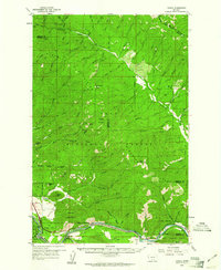
Editions of this 1959 Tarkio Map
3 editions found
Other maps of this area

1911 · Lolo
USGS Topo · 1:250,000

1912 · Missoula
USGS Topo · 1:125,000

1913 · Lolo
USGS Topo · 1:250,000

1956 · Wallace
USGS Topo · 1:250,000

1956 · Hamilton
USGS Topo · 1:250,000

1959 · Hamilton
USGS Topo · 1:250,000

1959 · Tarkio
USGS Topo · 1:62,500

1959 · Alberton
USGS Topo · 1:62,500

1959 · Perma
USGS Topo · 1:62,500

1959 · Plains
USGS Topo · 1:62,500