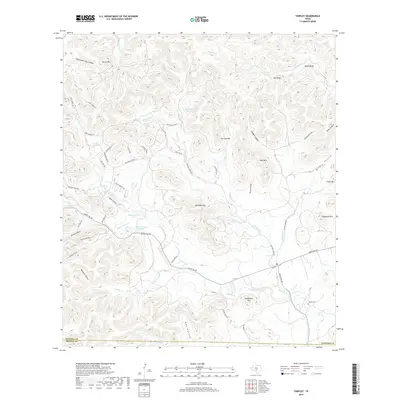
2019 Map of Tarpley
USGS Topo · Published 2019About this map
Williams Creek and Hondo Creek carve deep through the limestone terrain of the Texas Hill Country, defining a landscape marked by prominent peaks and narrow valleys. This modern survey reflects a region where ranching and private landholdings predominate, centered around the small community of Tarpley near the eastern boundary. Notable topographic landmarks such as Gunsight Mountain, Saddleback Mountain, and Iron Top Mountain dictate the winding paths of local thoroughfares like Ranch Road 470 and Williams Creek Road.
Find a feature on this map
62 named features on this map. Tap any name to fly to it.
Don’t see what you’re looking for? This feature index may not catch every label — zoom into the map to look around manually.
Map Details
Editions of this 2019 Tarpley Map
This is the sole edition of this map. No revisions or reprints were ever made.
Other maps of this area
1954 · San Antonio
USGS Topo · 1:250,000
1956 · Tarpley
USGS Topo · 1:62,500
1956 · Tuff
USGS Topo · 1:62,500
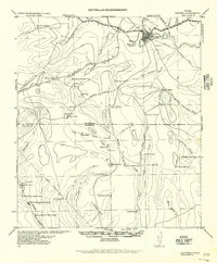
1956 · Bandera
USGS Topo · 1:62,500
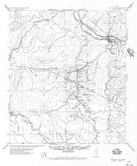
1956 · Center Point
USGS Topo · 1:62,500
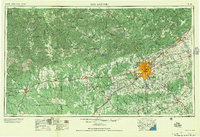
1957 · San Antonio
USGS Topo · 1:250,000
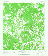
1964 · Love Creek
USGS Topo · 1:24,000
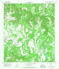
1964 · Rock Cliff Reservoir
USGS Topo · 1:24,000
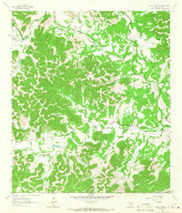
1964 · A Bar A Ranch
USGS Topo · 1:24,000
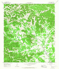
1964 · Tarpley
USGS Topo · 1:24,000